We’ve reached the final days of not only August, but meteorological summer, and some of them may not feel like summer.
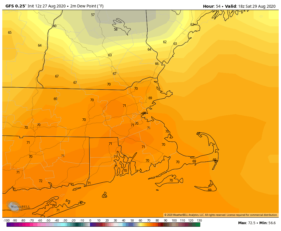
A warm front will get hung up to our south today, keeping most of the severe weather well south and west of us. In fact, it’ll stay far enough south that high pressure will build in for Friday. This will bring us some sunshine and milder temperatures. However, this dry weather will be short-lived.
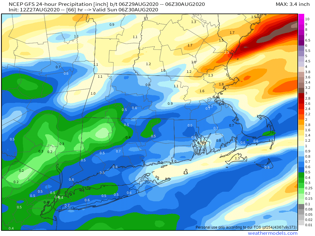
Another system will approach on Saturday, bringing some showers and possibly some thunderstorms into the region. We may be dealing with a situation similar to today where a warm front struggles to move into the region, which could keep some areas on the cool side. This front looks to have at least a little more push than today’s as the parent low will likely move across Northern New England, but we’ll have to see keep an eye on it.
Complicating things even more will be the remnants of Laura moving off the Mid-Atlantic coastline and passing south and east of New England. Laura won’t be tropical any more, but as the system moves back out over water, it may start to strengthen a little bit as an extratropical system. If it is far enough north, some of the moisture from it could stream northward as a cold front moves across the region. This could enhance the rainfall, making for a very wet time late Saturday and Saturday evening, especially along the South Coast.
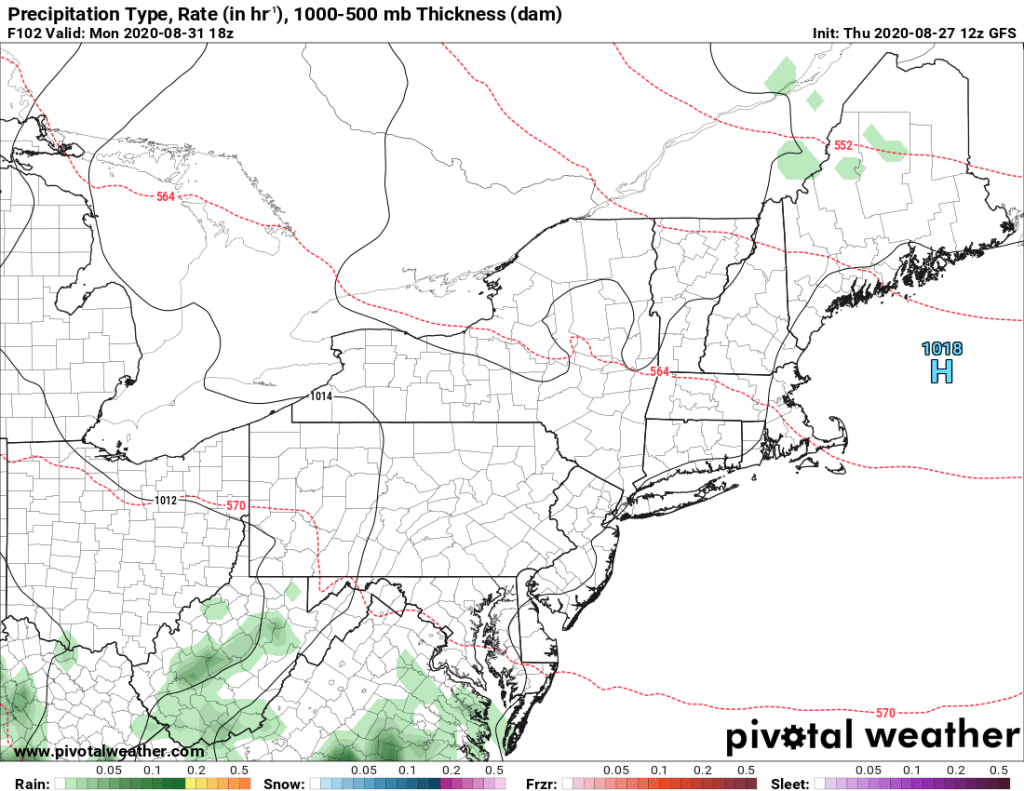
Once the cold front moves offshore Saturday night, high pressure will build back in for Sunday and Monday. This will bring a return to sunshine and seasonably mild conditions for the final days of August.
Thursday night: A few showers or thunderstorms along the south coast during the evening, otherwise becoming clear to partly cloudy. Low 55-62, possibly a little cooler across southern NH and the NH Seacoast.
Friday: Partly sunny. High 77-84.
Friday night: Clouds return with showers developing after midnight. Low 60-67.
Saturday: Cloudy with periods of showers and thunderstorms. High 75-82.
Saturday night: Showers and thunderstorms end in the evening, then skies clear out towards daybreak. Low 59-66.
Sunday: Partly to mostly sunny. High 72-79.
Sunday night: Clear skies. Low 50-57.
Monday: Sunshine and a few clouds. High 70-77, coolest along the coast.
