Changes are coming to our weather pattern, some good, some bad.
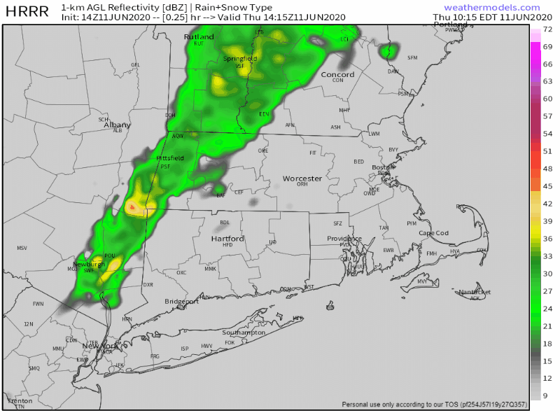
A cold front will move across the region later today, with some showers and thunderstorms likely ahead of it. The front moves through this evening, bringing an end to the shower activity, with some drier air moving in behind it. The front will likely stall out and dissipate off the South Coast on Friday, but with some sunshine developing, we’ll actually be warmer than we are today, with less humidity. Another weak front will move through late in the day, but it will have little moisture associated with it, so you’ll barely notice it aside from some clouds accompanying it.

High pressure builds in for Saturday, with more sunshine, but some cooler weather. With the high to the north we’ll have an easterly flow, so the warmest weather will be found well inland. Along the coast, temperatures may stay in the 60s all day, even with the sunshine.
As we get to Sunday and Monday, things become more uncertain. High pressure will be moving into Atlantic Canada, while an upper-level low pressure area moves into the Appalachians, spinning up a low pressure area at the surface in the Mid-Atlantic states. We’ll be caught in between these, and at this point, there’s no consensus as to which feature will win out. So, we’re going to play the middle ground for now, with generally cloudy conditions and below normal temperatures, especially along the coast. There will be a risk of some showers, but we don’t expect either day to be a washout. In fact, both days will probably be relatively dry, as the bulk of the shower activity should remain to the south, but some of it could move up this way.

Thursday night: Mostly cloudy with showers and thunderstorms ending from northwest to southeast. Low 59-66.
Friday: Becoming mostly sunny. High 79-86.
Friday night: Clear to partly cloudy. Low 53-60.
Saturday: Mostly sunny. High 71-78, cooler along the coast.
Saturday night: Clear skies. Low 49-56.
Sunday: A mix of sun and clouds, chance for a few showers. High 68-75, a little cooler along the coast.
Sunday night: Mostly cloudy. Low 51-58.
Monday: More clouds than sun, chance for a few showers. High 69-76, a little cooler along the coast.
