As we get to Christmas Week, we’ve got a very quiet pattern shaping up for the region. That doesn’t mean the forecast is simple though.
We start the week off on a mild note with high pressure still in a control, but a weak cold front will move through late in the day with little fanfare. It’s most noticeable impacts will be behind it, as temperatures drop back close to seasonal levels for Christmas Eve and Christmas Day, with highs in the 30s instead of the 40s to lower 50s most places will enjoy today.
Thursday looks to be a tad milder, but we’ll have a weak disturbance moving across the region. It may produce a few rain or snow showers late Thursday night into part of Friday, but this will not be a widespread precipitation-maker. High pressure builds back in for Friday night into Saturday before we turn out attention to the next storm. This one also has some big questions, but for now, it looks like we could have some rain around here next Sunday:
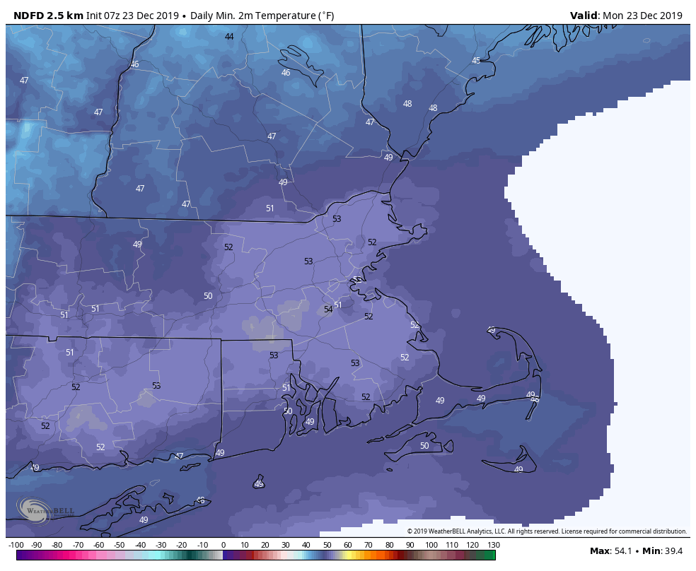
Monday: Sunshine gives way to some late-day clouds. High 46-53.
Monday night: Cloudy in the evening, then clearing after midnight. Low 25-32.
Christmas Eve: Partly to mostly sunny and cooler. High 35-42.
Christmas Eve night: Becoming partly to mostly cloudy. Low 18-25.
Christmas Day: Sunshine filtered through some high clouds. High 34-41.
Thursday: More clouds than sun. High 34-41.
Friday: Plenty of clouds with a few sunny breaks, chance for a few snow or rain showers early. High 34-41.
Saturday: Intervals of clouds and sunshine. High 39-46.
Sunday: Cloudy with a chance of rain. High 39-46.