The heat and humidity are gone (for now), but some rain is in our immediate future, but much of this week should end up being rather nice.
A cold front moved across the region last night, bringing an end to our heat wave, and taking the humidity away as well. However, that front stalled out south of Long Island, and it will remain there today. It’ll still be warm today behind the front, but closer to what we should experience during the latter half of July. A wave of low pressure will ride along the front, and it will produce some showers and thunderstorms across the area this afternoon and evening. A few of these storms may contain gusty winds and heavy downpours, but a severe weather outbreak is not expected.

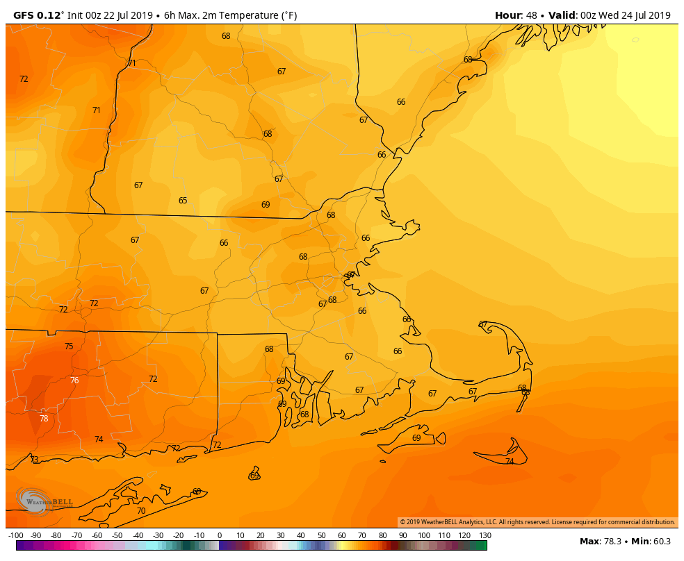
A second wave of low pressure will ride along the front on Tuesday, bringing in another round of showers and thunderstorms. Some of these storms may produce heavy downpours, which could lead to some localized flooding. One other thing you’ll notice is that it will be much cooler with plenty of cloud cover for most of the day. Many places may stay in the upper 60s to lower 70s throughout the day.
The front sags a little more southward on Wednesday as another wave of low pressure rides along it. This one will likely stay too far south to have any impact on us, except possibly Nantucket and Martha’s Vineyard, but we’ll certainly keep an eye on it. For the rest of us, high pressure starts to build back in at the surface, but with an upper-level low pressure area moving through, we’ll see clouds sprout up in the afternoon, with a stray shower or thunderstorm not out of the question.
From Thursday through Sunday, high pressure will be in control with generally dry conditions. Temperatures will slowly warm up as we head through this period, as will humidity levels, but in general, they’ll be close to what you’d expect for late July, and nothing extreme like we just had this past weekend.
Monday: Some morning sunshine, then becoming mostly cloudy with some showers and thunderstorms developing in the afternoon. High 79-86.
Monday night: Cloudy and breezy with showers and thunderstorms likely, tapering off after midnight. Low 60-67.
Tuesday: Plenty of clouds with showers and thunderstorms redeveloping in the morning, tapering off late in the day. Some storms may contain heavy rainfall. High 68-75.
Tuesday night: Mostly cloudy. Low 57-64.
Wednesday: Lingering clouds early, especially along the South Coast, then becoming partly sunny. High 74-81.
Thursday: Sunshine and some afternoon clouds. High 78-85, coolest along the coast.
Friday: Mostly sunny. High 81-88.
Saturday: Plenty of sunshine. High 83-90.
Sunday: A mix of sun and clouds. High 84-91.
