Did you enjoy the sunshine and warm temperatures at the end of the past week? Good, because you probably won’t get much of that this week. This week looks rather wet at times. The whole week won’t be wet, but there will be a few days that are quite damp.
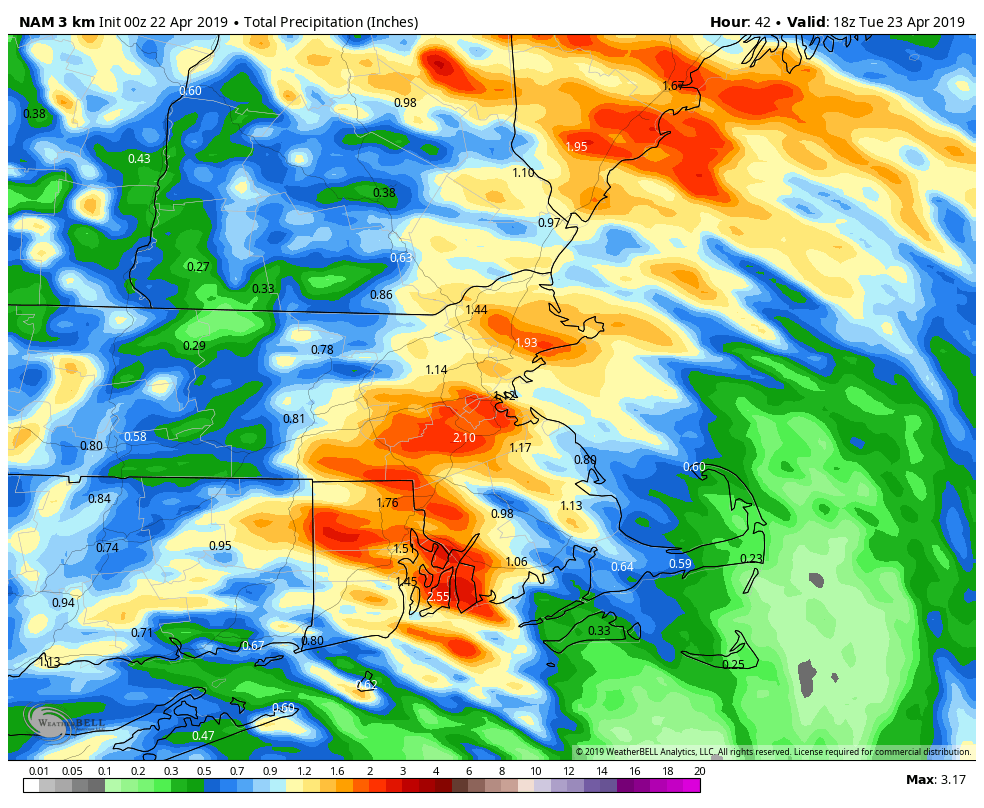
We start the week off with some fog this morning, especially along the south coast, since we have plenty of moisture in the air. A weak system will pass offshore today, and it will bring in a period of rain and showers, mainly across eastern New England. Some of this rain will be locally heavy, and thanks to northeast winds off the still-cool Atlantic, temperatures will be cooler than the past few days. The rain may linger into Tuesday morning before the system pulls away. Some sunny breaks may develop in the afternoon, but they won’t last long. Another cold front quickly approaches for Tuesday night into Wednesday morning with more showers.
High pressure builds in for later Wednesday into Thursday with sunshine and seasonable temperatures, but this too will only be temporary. The next system approaches on Friday, with, you guessed it, more rain, but it’ll be generally light. High pressure returns for Saturday with some sunshine, but again, not for long. Yet another system will move in for Sunday with another round of rain, and there’s a chance that this could be heavy too. We’ll keep an eye on that as the week goes along, but don;t go cancelling any plans for next weekend just yet.
Monday: Fog burns off early, then a few sunny breaks are possible before clouds return, with rain likely during the afternoon. Becoming breezy during the afternoon, especially along the coast. High 57-64, but turning cooler in the afternoon along the coast.
Monday night: Periods of rain and showers, possible heavy at times. Low 45-52.
Tuesday: A few lingering showers in the morning, otherwise cloudy with some sunny breaks in the afternoon. High 51-58, except 59-66 north and west of I-495.
Tuesday night: Cloudy with scattered showers. Low 41-48.
Wednesday: Showers ending early, then skies become partly to mostly sunny and breezy in the afternoon. High 60-67.
Thursday: Mostly sunny for much of the day, clouds start to filter back in during the afternoon. High 59-66.
Friday: Mostly cloudy with showers likely. High 54-61.
Saturday: Sunshine to start, clouds come back in the afternoon, breezy. High 54-61.
Sunday: Mostly cloudy with a chance of rain. High 55-62.
