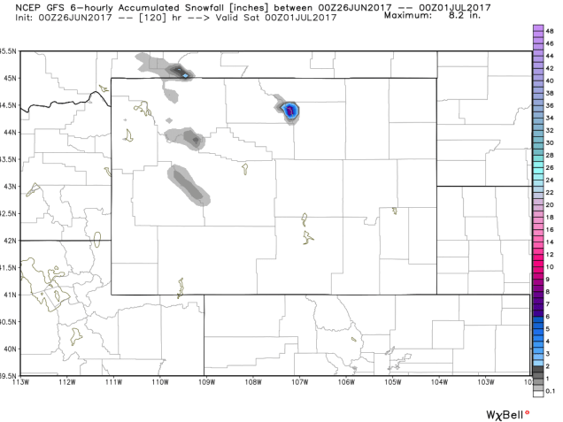
Let’s turn the clock back about 6 months, to February 9, 2017. Do you remember that day? Patrice Bergeron had 4 points and the Bruins beat San Jose 6-3 in Bruce Cassidy’s first game as the new Bruins head coach. The Celtics beat the Portland Trailblazers 120-111, led by Isaiah Thomas scoring 34 points. Of course, we were also just four days removed from the greatest comeback in Super Bowl history. Do you remember anything else about that day? No? Nothing? Let us refresh your memory:
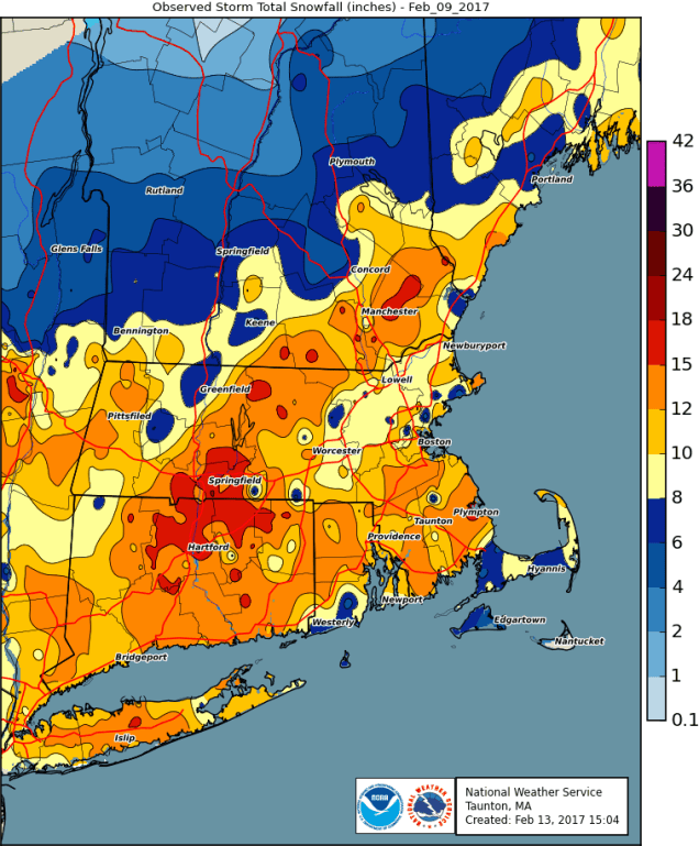
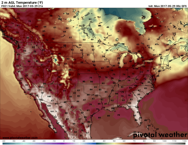
Yeah, you remember now, don’t you? You were trying to block it out and we just brought it back. It was in the 20s and lower 30s for temperatures, and snowed heavily for much of the day. As you can see from the map above, many of us were shoveling somewhere in the vicinity of a foot of snow that day. So, why are we bringing this up now? We’re betting that on that day, you were probably thinking about a nice week of vacation in the middle of the summer, with sunshine, warm temperatures, and no hint of any snow. Does this sound familiar? Well, that week you were dreaming of is here.
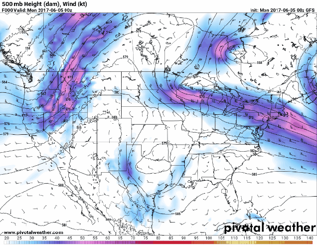
High pressure will be in control for much of the week. For the first half of the week, that means sunshine, warm temperatures, and low humidity. Temperatures and humidity levels will start to creep up as we head towards midweek, with the possibility of some afternoon showers and thunderstorms as we get later in the week. A cold front may bring in more showers and thunderstorms on Saturday, then high pressure returns for Sunday.

Monday: Wall-to-wall sunshine with just a few afternoon clouds. High 81-88, a little cooler along the coast.
Monday night: Mostly clear. Low 59-66.
Tuesday: Partly to mostly sunny. High 83-90. a little cooler right along the coast.
Tuesday night: Clear to partly cloudy. Low 63-70.
Wednesday: A mix of sun and clouds, more humid, a shower or thunderstorm can’t be ruled out. High 83-90.
Thursday: Partly sunny, afternoon showers or thunderstorms are possible. High 83-90.
Friday: Sunshine and some afternoon clouds, breezy, slight chance for a shower or thunderstorm. High 81-88.
Saturday: More clouds than sunshine with scattered showers and thunderstorms. High 77-84.
Sunday: Partly to mostly sunny. High 77-84.
Finally, we’ll mention a couple of things about the tropics. There are still a few storms in the Pacific, and one area we’re watching in the Gulf of Mexico. First, we’ll talk about the Gulf, since it’s closer. There’s a cluster of thunderstorms off the west coast of Florida. It’s got a small window of opportunity to get its act together before moving into Florida on Tuesday. Once it moves back into the Atlantic, it could strengthen on its way out to sea. It’ll bring some heavy rain to Florida and the Bahamas over the next few days, but otherwise, it doesn’t look like a big deal.

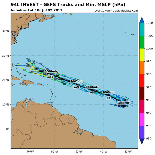
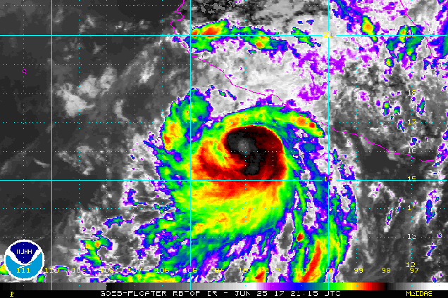
In the Pacific, things aren’t nearly as active as they were earlier in the week. We still have Tropical Storm Irwin in the Eastern Pacific, but probably not for too much longer. In the Western Pacific, we have Super Typhoon Noru. Noru is impacting a few small islands well south of Japan, and has likely peaked in intensity with maximum sustained winds near 150 mph early Monday morning. There’s still plenty of uncertainty in regards to Noru’s future track, and it could threaten southern Japan later this week. For now, just take a look at this beautiful monster: