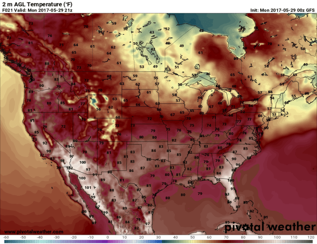
Memorial Day is the traditional start of summer, and it will certainly feel like summer today…..for most of the rest of the country. Around here? Not so much.
Low pressure will develop off the Mid-Atlantic coast early this morning and head northeastward, passing south and east of New England late in the day. The result will be a cool, damp day with plenty of showers, especially from late morning into late afternoon. Not exactly cookout weather, though you might be able to do some grilling in the evening if you don’t mind being outside in some drizzle or a few lingering showers. Tuesday and Wednesday will show some improvement, but they won’t exactly be beach days. Both days will feature some sunshine and milder temperatures, but with an upper-level low pressure area nearby, clouds and showers will likely fill in, especially each afternoon. As we flip the calendar to June on Thursday, high pressure builds in with sunshine and seasonably warm temperatures that last into the weekend. A weak low pressure area brings in more showers for late Friday into early Saturday. Another system may bring in more rain for Sunday, though there is still plenty of uncertainty with the timing of that system, which could have a significant impact on the temperatures. Right now, some models show Sunday being even cooler than our forecast, while others have it significantly warmer, which is a function of the amount of cloud cover and/or precipitation shown by each model. We’re going in the middle for now, but we’re leaning towards the cooler, wetter scenario for now.
Memorial Day: Cloudy with showers developing in the morning, continuing for much of the day. High 52-59.
Monday night: Showers taper off in evening, skies remain mostly cloudy overnight. Low 45-52.
Tuesday: Partly sunny with some showers possible in the afternoon. High 62-69, cooler right at the coast.
Tuesday night: Partly to mostly cloudy, slight chance for a shower or two. Low 49-56.
Wednesday: More clouds than sunshine with more showers possible. High 68-75, cooler along the coast.
Thursday: Partly to mostly sunny. High 70-77.
Friday: A sunny start, then clouds move in. Showers develop late in the day. High 67-74.
Saturday: Cloudy and breezy with showers likely, especially in the morning. High 68-75.
Sunday: A mix of sun and clouds, chance for more showers, especially in the afternoon. High 63-70.
Thursday also marks the start of Hurricane Season in the Atlantic. We’ll likely have a post about that on Thursday. Here’s an early preview – We are VERY overdue for a hurricane to make landfall in New England.

