As we prepare to flip the calendar from March into April, it looks like a week of typical springtime weather in New England is in the forecast. What exactly is “typical springtime weather” in New England? Why, it’s a little bit of everything. Let’s get to the details.
The week starts off chilly and damp as a warm front tries to approach from the south. As rain moves in ahead of it, temperatures will be on the cool side, so we may even see a little freezing rain in the morning well north and west of Boston. If you live there or have to head there in the morning, take things a little on the slow side. The rest of Monday will be fairly wet, as a wave of low pressure rides along that front across the region. We’re not sure that front ever makes it completely across the region, so if you were expecting some milder conditions, you may be out of luck, especially the farther north you head. Another wave of low pressure rides along the front on Tuesday, giving us more rainfall. While a couple of cool and wet days doesn’t sound good, the rain is beneficial. We are still in a drought across the region, and need plenty more rainfall to break it.

Once that wave of low pressure moves by Tuesday night, high pressure then builds in for Wednesday and Thursday. So, we’ll finally get some sunshine again, especially away from the coastline, but it will remain on the cool side, with temperatures staying a little below normal. (Highs should generally be in the lower to middle 50s as we head into early April.) This brings us to Friday and Saturday. Another system will approach from the west very slowly, and likely pass to our south. That means another extended period of precipitation across the region. Notice, we said “precipitation” and not “rain”. That’s because it might not all be just rain. Yup, the dreaded “S-word” is possible again. It’s a little too early to tell how likely it is, but the best chance for any accumulating snow would probably be in the higher terrain. As we head into April, it becomes tougher and tougher to get accumulating snow around here, especially during the daytime. Oh, it’s happened plenty of times, but you need things to be set up just right, and this doesn’t look to be that type of setup right now. Showers may linger around here into Sunday before high pressure starts to build in again. Right now next Monday looks partly cloudy and seasonably cool. If you have to ask why we’ve included Monday, then you’re probably not from around here.

Monday: Periods of rain, possibly some freezing rain well north and west of Boston in the morning. High 37-44, except 44-51 south of Boston.
Monday night: Rain tapers off in the evening, then becoming mostly cloudy with some patchy drizzle. Low 33-40.
Tuesday: Cloudy with rain and showers redeveloping. High 47-54.
Tuesday night: Cloudy with showers tapering off and ending. Low 34-41.
Wednesday: Skies may remain cloudy with some lingering drizzle or showers along the coast, becoming partly to mostly sunny well inland. High 45-52, coolest along the coast.
Thursday: Partly to mostly sunny. High 42-49, coolest along the coast.
Friday: Becoming cloudy with showers developing, possibly mixing with or changing to snow well north and west of Boston, especially at night. High 40-47.
Saturday: Breezy with rain likely, possibly mixed with snow well north and west of Boston. High 39-46.
Sunday: Cloudy skies with showers possibly lingering in eastern areas into the morning. High 46-53.
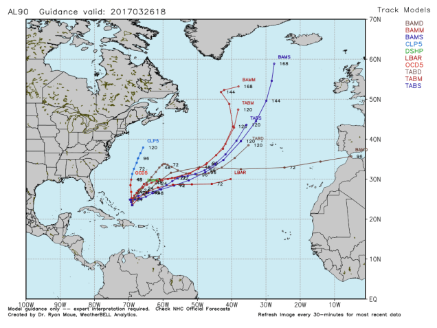
Finally, here’s something that we find this interesting, and since this is our blog, we’re going to tell you about it. There’s a tropical disturbance east-northeast of the Bahamas that is being watched for development right now. Yes, it’s March. No, it’s not unheard of, though it is fairly rare. It’s not expected to develop into a tropical system, but could become quite a gale in the North Atlantic this week.