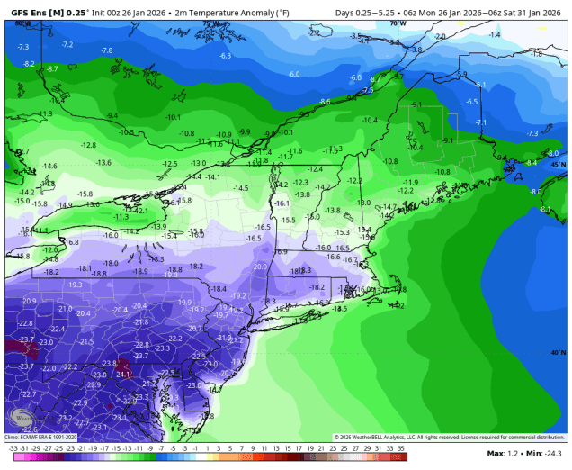
Another cold week is expected, but we’ve got two harbingers of Spring for you today.
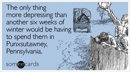
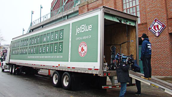
Today is Groundhog Day, when the world looks to a small town in Pennsylvania where a rodent is forcibly removed from his home, and asked whether he saw his shadow (Spoiler: He will). As a result, Spring won’t begin for 6 more weeks, which by coincidence is about when the Vernal Equinox occurs, marking the start of astronomical Spring. The other sign that Spring is near comes a little closer to our area – it’s Truck Day! The Red Sox will fill up a 53-foot truck with 20,400 baseballs, 1,100 bats, 200 pairs of batting gloves and helmets, 320 batting practice tops, 160 white game jerseys, 300 pairs of pants, 400 t-shirts, 400 pairs of socks, 20 cases of bubble gum, and 60 cases of sunflower seeds. It will Fenway, make a pit stop in Worcester, then head to Fort Myers, where pitchers and catchers are due to report in 9 days. Hopefully the truck will pick up a power-hitting infield along the way.
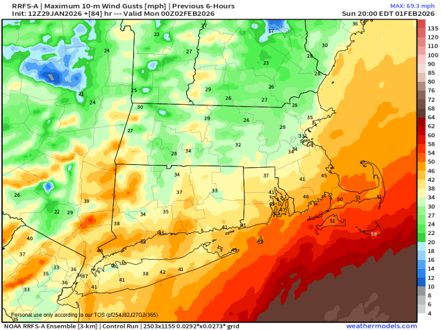
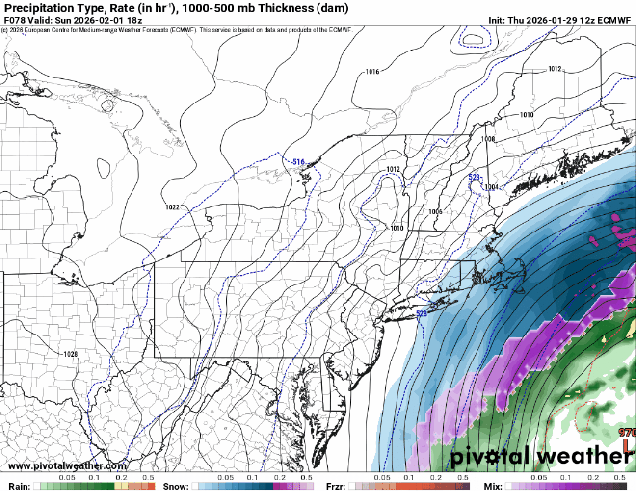
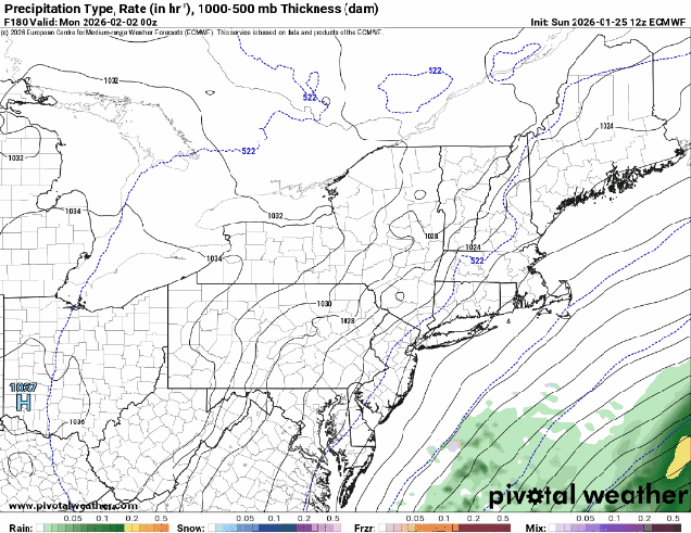
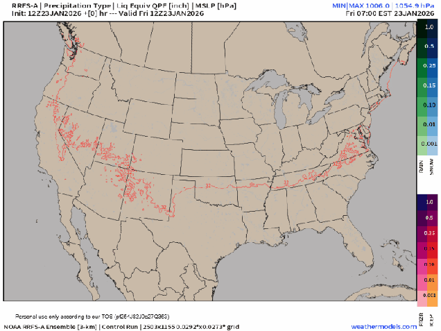
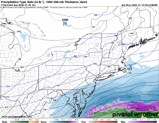
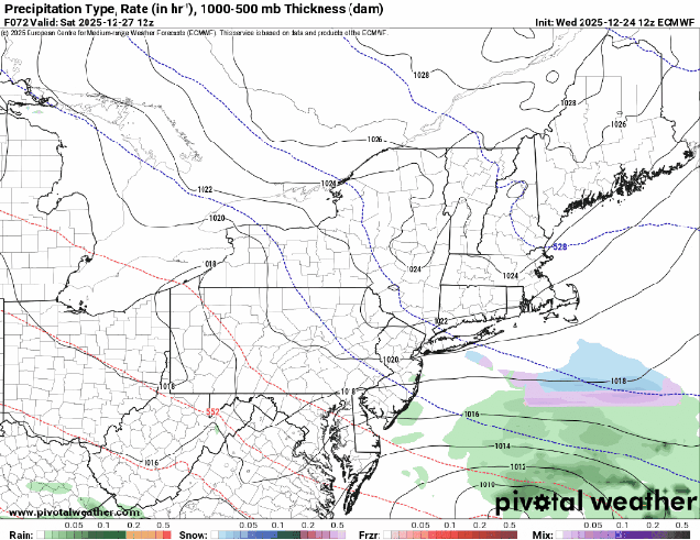
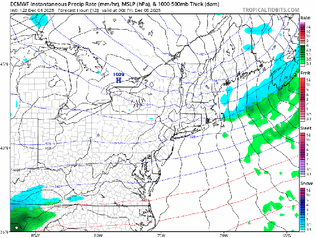
As for the weather, high pressure will keep us cold and dry into Thursday. A weak system will pass by to the south Tuesday night and early Wednesday, but aside from a few clouds, it shouldn’t impact our area at all. A cold front will move through with little fanfare on Thursday, bringing arctic air back into the region. After that, we’re watching an Alberta Clipper that will bring in a little snow Friday into early Saturday. At this point, it doesn’t look like a big deal, but the system may slow down and strengthen as it moves into the Gulf of Maine. The main impact will be gusty north winds resulting in bitterly cold wind chills again next weekend. However, if the storm slows down a little faster than we currently are thinking, that could result in a little more snow. We’ll be keeping an eye on this as the week goes on.
Oh, and if you’re curious about the weather in Santa Clara, California for Sunday evening – clear skies, light winds, and temperatures in the mid-60s.
Monday: Becoming mostly sunny. High 25-32.
Monday night: Mostly clear. Low 1-8, milder across Cape Cod.
Tuesday: Sunshine and some afternoon clouds. High 27-34.
Tuesday night: Partly cloudy. Low 8-15, milder across Cape Cod.
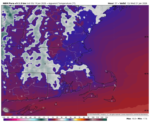
Wednesday: A mix of sun and clouds. High 26-33.
Wednesday night: Clear to partly cloudy. Low 5-12, milder across Cape Cod.
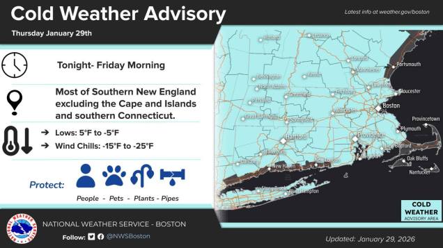
Thursday: Partly sunny. High 23-30.
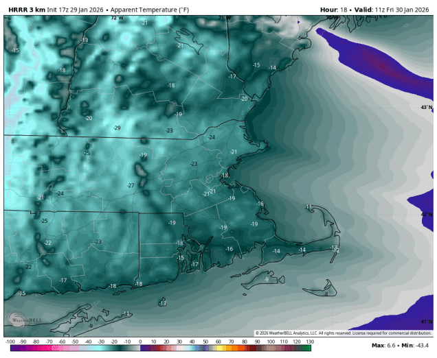
Thursday night: Partly cloudy. Low 2-9, milder across Cape Cod.
Friday: Mostly cloudy with some light snow possible. High 25-32.
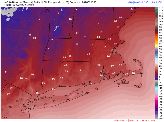
Saturday: Intervals of clouds and sun, chance for light snow early, windy, colder. High 16-23.
Sunday: A mix of sun and clouds, chance for a few flurries, windy. High 12-19.