High pressure will be in control for much of the upcoming week, but there is some unsettled weather on the way.

Another cool day to start off the week with a weak frontal system moving through, but only producing some clouds. High pressure will be in in control with moderating temperatures for Tuesday through Thursday with dry weather. Clouds will start to move in later Wednesday and Thursday as a strong cold front starts to approach the region. That front will bring in a period of rain and showers for Thursday night and early Friday, along with some gusty winds at times. Behind the front, high pressure builds back in with cooler weather for next weekend.
Monday: Partly sunny, just a slight chance for an afternoon sprinkle, mainly north of Boston. High 59-66.
Monday night: Clear skies. Low 38-45.
Tuesday: Plenty of sunshine. High 60-67.
Tuesday night: Clear skies. Low 40-47.
Wednesday: A mix of sun and clouds. High 65-72.
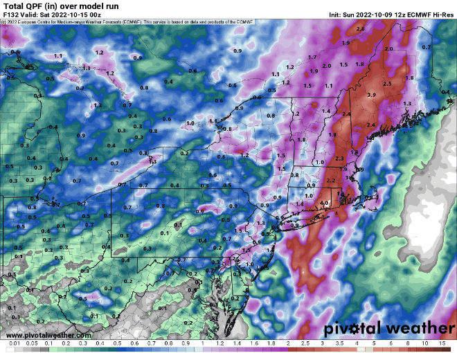
Thursday: Becoming mostly cloudy and breezy with showers developing in the afternoon, possibly becoming a period of rain at night. High 65-72.
Friday: Showers end in the morning, then becoming partly sunny. High 64-71.
Saturday: Plenty of sunshine. High 59-66.
Sunday: Sunshine and some afternoon clouds. High 59-66.
