We finally got the beneficial rain we that we really needed on Sunday. Of course, we need a lot more of it. This week, we’re not going to get it. So while you won’t need an umbrella, you will need to dig out your fall coats and/or sweatshirts, because it’s going to turn cooler.
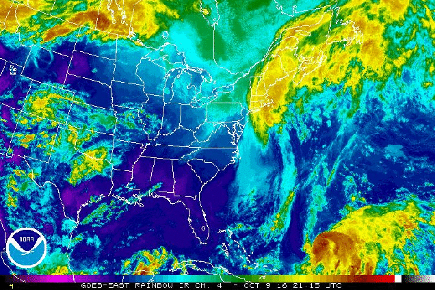
A cold front will continue to pull away from the region today and high pressure will build in. This will result in dry and cool conditions into at least Wednesday. By Thursday, we’ll be back in a somewhat similar pattern to what we had on Sunday. A cold front will be approaching from the west, and Hurricane Nicole will be well offshore after making a close pass to Bermuda. Unlike Sunday, Nicole should be too far offshore to have any influence on our weather, so we’ll just have to deal with scattered showers with the cold frontal passage. High pressure then builds back in for next Friday and the weekend with a return to cool and dry conditions. While we still could see some days with highs in the 70s coming up, it is becoming less and less likely that we’ll see highs reaching 80 again before March or April. It could be worse though, at least we don’t have snow in the forecast…..yet.
Monday: Becoming mostly sunny and cool with diminishing winds. High 55-62.
Monday night: Clear skies. Low 34-41, with some frost likely in the normally colder locations.
Tuesday: Sunshine and a few clouds. High 58-65.
Tuesday night: Clear to partly cloudy. Low 40-47.
Wednesday: Partly to mostly sunny. High 60-67.
Thursday: Becoming partly to mostly cloudy with a chance of late-day showers. High 64-71.
Friday: Partly to mostly sunny, breezy, and cooler. High 55-62.
Saturday: A mix of sun and clouds. High 52-59.
Sunday: Mostly sunny. High 56-63.
