Looks like we’ve got a typical summer-time week on our hands. Warm temperatures, increasing humidity, late-day showers and thunderstorms – they’re all in the forecast.
We start the week with high pressure building in from the Great Lakes. That gives us sunshine, warm temperatures, and low humidity for Monday and Tuesday. By Wednesday, the high slides offshore. This allows winds to become southwesterly, bringing even warmer weather in, but also more humidity. With the humidity will also come an increased risk of afternoon showers and thunderstorms, especially Thursday and Friday. By the end of the week a front will start to approach from the north.This will give us an even better chance of showers and thunderstorms next weekend, but right now, neither day looks likely a washout. Cooler and drier weather is likely behind the front, but when that front moves through is a big question mark. One model wants to wait until Monday, with Sunday being hot and humid once again, while another brings it through early Sunday, with significant cooler temperatures Sunday afternoon. For now, we’ll go in between the two, because frankly, we’re not sure which way to lean at this point.
Monday: Sunshine and a few clouds. High 81-88.
Monday night: Clear skies.Low 57-64.
Tuesday: Mostly sunny. High 83-90.
Tuesday night: Clear to partly cloudy. Low 62-69.
Wednesday: A mix of sun and clouds, chance for afternoon showers and thunderstorms. High 81-88.
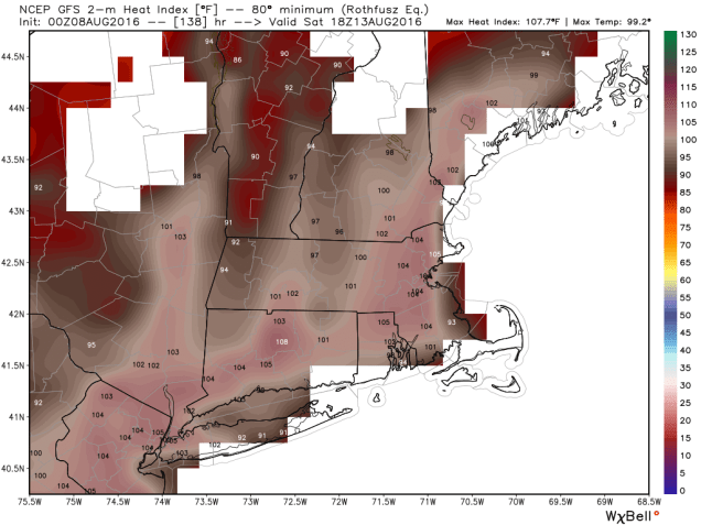
Thursday: Partly sunny, a few showers and thunderstorms are possible. High 90-97.
Friday: Intervals of clouds and sunshine with scattered showers and thunderstorms in the afternoon. High 86-93.
Saturday: Partly sunny, chance for afternoon showers and thunderstorms. High 88-95.
Sunday: More clouds than sunshine with a chance for more showers and thunderstorms. High 80-87.
