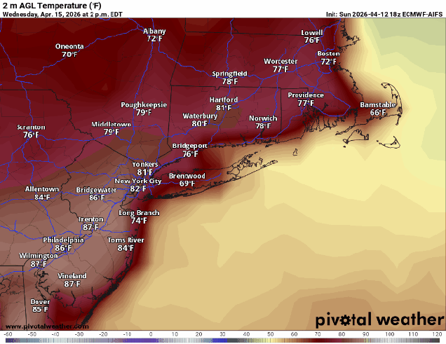
Location, location, location. It matters in real estate. It’ll matter in the forecast this week too, in terms of the location of a wavy frontal system.
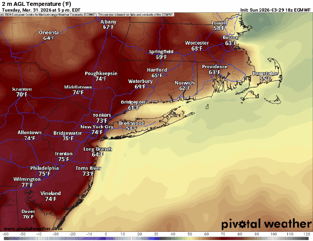
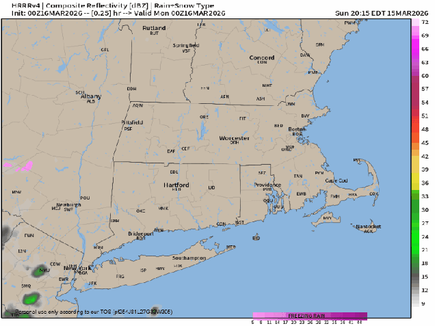
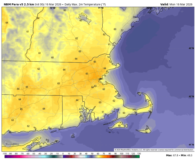
A warm front will cross the region this morning, with some showers ahead of it. Once it moves through, gusty south to southwest winds will usher warmer air back in, but with plenty of cloudcover, most places will only get into the 60s, except the South Coast and Cape Cod, where southwest winds are a seabreeze. If we can get enough (any?) sunshine, some places could top 70 in the afternoon. A weak disturbance may trigger a few late day showers or a rumble of thunder, but most places will remain dry. Tuesday looks like a very warm day across most of the region with partly sunny skies, and temperatures well into 70s inland, possibly topping 80, while coastal areas deal with seabreezes keeping temperatures much cooler. Another weak disturbance may produce a few more showers or a thunderstorm Tuesday evening, then the uncertainty grows. The front will start to head back as a backdoor cold front, but how far south and west it gets, and when it does so is a big question mark at this time. Wednesday afternoon could see temperatures well into the 80s inland, with coastal areas, especially from the North Shore to the New Hampshire Seacoast only in the 40s. In between? It all depends on where the front is. A wave of low pressure riding along the front may bring in more showers Wednesday night, then the front lifts back northward, bringing the warm air back in for everyone on Thursday. The end of the week and the weekend, including Patriots Day on Monday will see the front wavering back and forth, meaning we could alternate between very warm days and very cool days, especially near the coast, with some episodes of showers at times as waves of low pressure continue to ride along the front.
Monday: A few lingering showers early, otherwise clouds and some sunshine, breezy, chance for a few late-day showers. High 66-73, cooler across Cape Cod and the South Coast.
Monday night: An evening shower, then becoming clear to partly cloudy. Low 51-58.
Tuesday: A mix of sun and clouds, chance for a late-day shower or thunderstorm. High 73-80, cooler across Cape Cod and the South Coast, possibly turning much cooler in the afternoon from the New Hampshire Seacoast into parts of northeastern and eastern Massachusetts.
Tuesday night: Partly cloudy. Low 52-59.
Wednesday: Partly sunny, chance for an afternoon shower. High 76-83, potentially much cooler along the coast.
Wednesday night: Partly to mostly cloudy, chance for a few showers. Low 53-60.
Thursday: Intervals of clouds and sun. High 69-76, potentially much cooler along the coast.
Thursday night: Partly to mostly cloudy. Low 50-57.
Friday: A mix of sun and clouds. High 71-78, cooler along the coast.
Saturday: Partly sunny. High 66-73, potentially much cooler along the coast.
Sunday: Intervals of clouds and sun, breezy, chance for some showers. High 67-74, cooler along the coast.
Patriots Day: Partly to mostly sunny. High 47-54.