We’re in an active pattern right now, with lots of rapid-fire changes coming over the next few days.
Low pressure will cross central New England on Friday. Ahead of it, we’ll remain quite mild in Friday morning, but some showers likely tonight. They’ll become more numerous on Friday as the low drags a strong cold front across the region during the morning. Gusty northwest winds behind the front will send temperatures downward fairly quickly Friday afternoon. The rain should come to an end during the evening, but enough colder air may work in that the rain could mix with or change to wet snow before ending across southern New Hampshire and the Merrimack Valley. We’ll clear out late Friday night, then high pressure builds in for Saturday with sunshine and seasonably cool temperatures. Temperatures start to moderate on Sunday as the high slides offshore, but clouds will also move in as a weak upper-level disturbance moves toward the area. It may produce a few showers Sunday night and early Monday, mainly across Cape Cod and possibly southeastern Massachusetts. Another disturbance passes by late Monday and Monday night with a few more showers possible as it drags a cold front through late in the day.
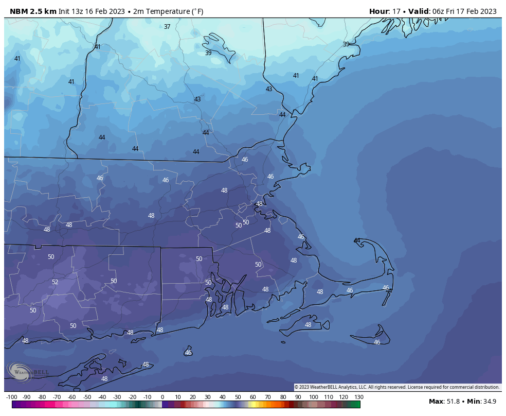
Thursday night: Cloudy and mild with some showers likely. Low 43-50 this evening, temperatures may rise a bit overnight.
Friday: Scattered showers, possibly mixing with wet snow late in the day north of Route 2, becoming windy and much cooler in the afternoon. High 55-62 in the morning (cooler across the NH Seacoast), temperatures drop sharply in the afternoon.
Friday night: Rain or snow showers end in the evening, skies start to clear out late at night, breezy. Low 18-25.
Saturday: Sunshine and a few clouds. High 34-41.
Saturday night: Clear to partly cloudy. Low 24-31.
Sunday: Increasing clouds, milder. High 42-49.
Sunday night: Mostly cloudy, chance for a few showers. Low 33-40.
Monday: More clouds than sun, chance for a few showers. High 48-55.
