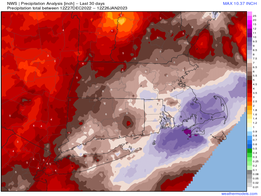
Drier weather will return for a few days, but won’t last for too long.
High pressure builds in for tonight and Friday with some clearing and temperatures remaining on the mild side for late January. A weak front will move through on Saturday with some clouds and possibly a rain or snow shower, but for the most part, it will remain dry. The front stalls out just to the south, keeping plenty of clouds around for Saturday night and Sunday. On Sunday it will start moving northward again as a warm front, ahead of low pressure heading toward the eastern Great Lakes. That low passes across Northern New England Sunday night and Monday, producing a few rain or snow showers across our area. We’ll start to clear out behind the system later on Monday.
Thursday night: Partly cloudy, breezy. Low 22-29.
Friday: Partly to mostly sunny. High 34-41.
Friday night: Variably cloudy, chance for a few late-night rain or snow showers. Low 21-28.
Saturday: Partly sunny and breezy. High 39-46.
Saturday night: Partly to mostly cloudy. Low 24-31.
Sunday: Mostly cloudy, breezy. High 42-49.
Sunday night: Mostly cloudy, chance for a few rain or snow showers. Low 25-32.
Monday: Plenty of clouds with a few rain or snow showers early, some clearing late in the day. High 39-46.
