We’re getting into a more active weather pattern around here, and also one that is a bit more wintry.

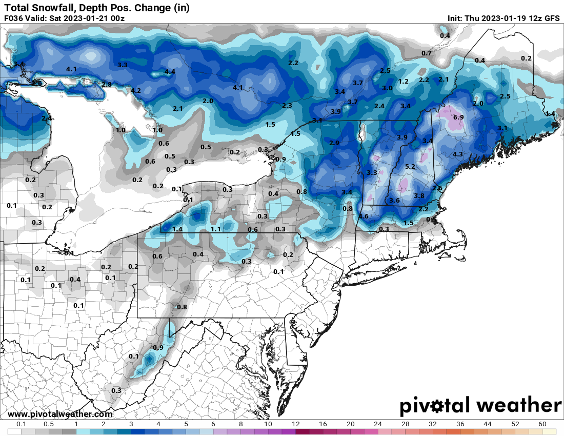
Low pressure will head into the Midwest tonight while a secondary area of low pressure develops across the northern Mid-Atlantic states and passes just south of New England tonight. Rain will overspread much of the region over the next few hours, except for central New Hampshire, where precipitation will likely start as some snow. As that secondary area of low pressure passes by to the south tonight, winds will shift into the north, allowing cooler air to settle in, and the rain/snow line to start migrating southward. The steadiest precipitation likely ends before daybreak, but the old low pressure system will move through during the day on Friday, with occasional snow showers north and west of Boston, and occasional rain showers changing to snow showers from Boston southward. The rain/snow line likely doesn’t reach the South Coast before everything winds down late Friday afternoon or evening. How much snow can we expect?
South and east of I-95: Less than 1″
MetroWest/North Shore: 1-2″
Merrimack Valley/NH Seacoast: 2-4″
Southern/Central NH: 3-6″
We may see some clearing on Saturday as high pressure tries to move in, but clouds quickly return Saturday night as another system heads toward the region. This one looks to be mostly rain for Sunday night into Monday morning, but it may start as snow across southern New Hampshire, and the rain may change to snow before ending across the region Monday morning. We’ll clear out behind the system Monday afternoon, but it will be quite breezy.
Thursday night: Rain developing across the region, except snow across central New Hampshire. Rain changes to snow as we head through the night across southern New Hampshire and the Merrimack Valley. Low 29-36.
Friday: Occasional snow showers north and west of Boston, with rain showers changing to snow showers from Boston southward. High 34-41 in the morning, temperatures drop during the day.
Friday night: Mostly cloudy, any lingering rain or snow showers end in the evening. Low 20-27.
Saturday: Becoming partly sunny. High 30-37.
Saturday night: Clouds return. Low 11-18 across southern New Hampshire and the Merrimack Valley, 19-26 elsewhere.
Sunday: Mostly cloudy. High 36-43.
Sunday night: Cloudy and becoming windy with rain likely, possibly starting as snow across southern New Hampshire. Low 30-37, temperatures may rise a bit overnight.
Monday: Rain may change to snow before ending in the morning, becoming partly sunny and windy in the afternoon. High 40-47 early, temperatures drop during the day.
