After several days of media hype, and people posting model forecasts for extreme amounts of snow on social media, it looks like we do actually have a snowstorm on the way, and it could be a decent-sized one for parts of the region.

Low pressure over Texas this afternoon will combine with a second area near the Texas coast to become a single storm system later today, which will then head northeastward into the Tennessee Valley tonight, bringing plenty of moisture with it from the Gulf of Mexico. Meanwhile, a strong high pressure system is moving across southeastern Canada, bringing plenty of cold air into the Northeast. When you get copious amounts of moisture running into cold air, you end up with snow, potentially a lot of it,. That’s what’s going to happen here late Wednesday into Thursday.

That low pressure area will move from the Tennessee Valley to the Mid-Atlantic coastline on Wednesday before moving offshore and passing south of New England. While there are still some questions as to the exact track it will take, which has implications for the forecast itself, the models have come into better agreement today on a more northerly track than they were showing last night. This has several implications for the forecast around here:
1. Snow will likely penetrate even farther inland, with heavier snow farther inland as well.
2. Rain/snow ratios will be lower across southeastern New England, resulting in a wetter snow.
3. A change to sleet or rain is now possible across Cape Cod, and possibly parts of southeastern Massachusetts and southern Rhode Island.
We mentioned in our Weekly Outlook that there would likely be a sharp cutoff in the northern extent of the snow, going from heavy snow to little snow in a short span, but we weren’t sure where that cutoff would set up. At this point, it’s looking more and more likely that it will set up somewhere in central or southern New Hampshire, meaning that most of us will be shoveling by Thursday morning. This detail is still not definite, so obviously things can change in the next 24 hours or so.

That high pressure area in southeastern Canada will provide us with plenty of cold air, which will be evident tonight when temperatures drop into the teens or even single numbers. As the snow moves in Wednesday night, we’ll see a coastal front setup across eastern Massachusetts and Rhode Island. This is a common occurrence in winter storms. Basically, the northeast to east winds off the water send temperatures up to the lower to middle 30s along the coast and a short distance inland (anywhere from 20-40 miles). On the other side of that front, northeast to north winds keep the colder air locked in, with temperatures in the teens and lower 20s. Obviously, in the “milder” air on one side, you’ll get a wetter snow, with the possibility of some mixed precipitation, while the colder area gets mostly snow that is more powdery. We said “mostly snow”, as you can get some milder air aloft which could allow for some sleet to mix in, which obviously would have a significant impact on snow accumulations. That coastal front will eventually collapse southeastward toward the coast as the low pressure area moves by, allowing the colder air to eventually move back in everywhere, and any mixing that does take place eventually goes back over to all snow.

As for the timing, most of Wednesday should be fine, so you can do any errands that need to be completed before the storm moves in. Snow should move into the South Coast towards the evening rush, quickly spreading northward, reaching the MA/NH border by midnight. Snow may fall moderate to heavy at times overnight, with some mixing possible across Cape Cod and the Islands (and possibly southeastern Massachusetts) late at night and early Thursday morning. Most of the steady precipitation should wind down by midday, but some lingering snow showers are possible, especially along the coast, through the afternoon.
Snow isn’t the only threat with this system, as gusty winds are also expected, especially along the coastline. While this storm won’t be that strong, at least compared to many winter storms in the past, the gradient between it and the large high pressure area to the north will create some gusty winds. Sustained winds of 15-25 mph, with gusts to 40 mph or more, are likely. These gusty winds may enhance the snow across parts of eastern Massachusetts. However, with high astronomical tides, the winds may also result in some coastal flooding around high tide, especially at northeast and east facing coastal areas.

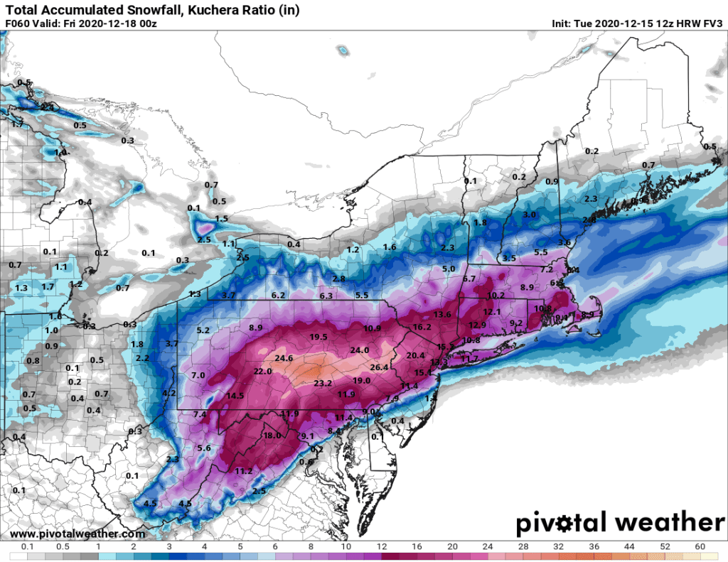
So, how much snow are we looking at? Obviously, there’s still some things that complicate this part of the forecast (snow ratios/mixing/northern extent of the snow), so this is preliminary for now, and we may adjust it tomorrow if needed, but here’s our thinking:
Central New Hampshire: 2-4″
Southern New Hampshire/Seacoast: 4-8″
Merrimack Valley/Central Massachusetts: 5-10″
North Shore/MetroWest/Metro Boston: 6-12″
Interior Southeastern Massachusetts/Rhode Island: 8-14″
Cape Cod and the Islands: 4-8″
Colder air will settle back into the region behind the storm for Thursday night and Friday, so you’ll want to clear out the driveways and walkways before everything freezes solid.
