We’ve got good news and bad news for this week’s forecast. Good news: Some mild weather is expected. Bad news, some rain is expected as well. But wait, we need the rain, so maybe that’s good news too! Let’s get to the details.
We start the week off with an area of low pressure passing south of the region. It may produce some showers this morning across the Cape and the Islands and possibly the South Coast, but by afternoon, we’ll see sunshine in most places. A weak cold front moves through this evening, then high pressure builds in for Tuesday into part of Wednesday. This will result in more sunshine and seasonably mild temperatures.
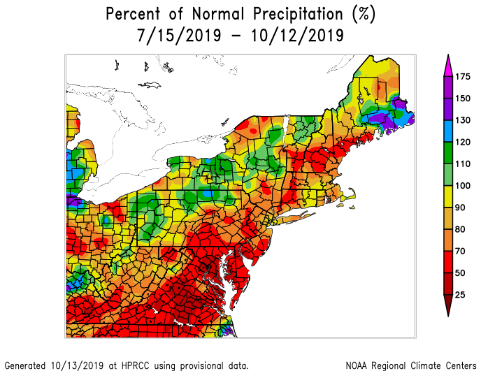
Later Wednesday, a coastal storm will start to develop off the Mid-Atlantic coastline and head northeastward, likely passing very close to, if not right over, the Cape and Islands. As this storm gets wound up, it will bring some gusty winds to the region, especially on Thursday as it moves into the Gulf of Maine. It will also produce some rainfall. Many of the models are indicating the potential for some heavy rainfall. However, these same models went for heavy rainfall with the last few similar storms, and for the most part, it didn’t materialize. Plus, we’ve been very dry lately. We’re not in a drought yet, but things have been trending that way. When we are in drought, most storms seem to under-perform rainfall-wise, compared to what the models show. Since we’ve been burned on the last couple of storms, we’re of the opinion that we need to see it to believe it. Yes, we’re expecting rain Wednesday night into part of Thursday, but we’re not buying the “heavy rain” aspect just yet (but you can bet some of the TV guys will because they need something to hype).

High pressure builds in behind the storm on Friday with some cooler weather as an upper-level low pressure area crosses the Northeast. After that, the high moves offshore, and we warm up again next weekend. In fact, don’t be surprised if we top 70 again on Sunday. The warm weather may even remain in place for the beginning of the following week as well.

Monday: A few showers in the morning across the Cape and possibly the South Coast, otherwise skies will become partly to mostly sunny. High 63-70.
Monday night: Clear to partly cloudy. Low 40-47.
Tuesday: Sunshine and a few clouds. High 54-61.
Tuesday night: Clear to partly cloudy. Low 38-45.
Wednesday: Some morning sunshine, then clouds move in during the afternoon. Breezy at times with rain developing towards the evening commute and continuing overnight. High 57-64.
Thursday: Windy with showers ending in the morning from southwest to northeast, some sunny breaks may develop in the afternoon. High 51-58.
Friday: Sunshine and some afternoon clouds, still breezy. High 53-60.
Saturday: Plenty of sunshine. High 56-63.
Sunday: More sunshine. High 63-70.

