It’s time for March Madness once again, and we’re not talking about the NCAA Basketball Tournament. No, this time we’re talking about the relentless hype ahead of a March snowstorm. You’d think that we’ve never had a big storm around here in March before with the way the media is reacting. It’s almost as if everyone has forgotten about the storms in 1993, 1997, 2007, and 2013, never mind the ones we’ve had in April (or May).
Well, enough about that, let’s get right to the details of the storm. Low pressure is moving across the Ohio Valley today while a second area of low pressure is starting to develop off the Southeast coast. As the Ohio Valley system weakens tonight, it will transfer its energy to the coastal storm, and then the fun really begins.
The low will move up the coastline tonight into Tuesday and rapidly strengthen. Snow will break out across the region around daybreak Tuesday, and will fall heavy at times from mid-morning into the evening. Snowfall rates of 1-3 inches per hour seem likely. The snow will be accompanied by winds gusting to 40-50 mph at times, even higher near the coast, and especially across Cape Cod. This may create blizzard conditions at times, with significant blowing and drifting snow expected. We’d recommend that you stay off the roads, as travel will be dangerous at best during the daytime hours. The good news is that the storm will be moving relatively quickly, so the snow will taper off in the evening, and end at night.

The big wildcard at this point is the exact track of the storm. Some of the models are trying to indicate that the storm will move across southeastern Massachusetts late in the day, while others keep the storm near or just east of Cape Cod. The farther the storm tracks to the west, the more likely a change to sleet and/or rain becomes across southeastern Mass, possibly as far inland as the I-95 corridor. Obviously, that will have a big impact on snowfall totals.
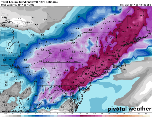
So, how much snow are we looking at? Well, many in the media have been throwing out amounts like 1-2 feet or some other ridiculous numbers. The fact is, with a storm moving as quickly as this one is (it’s only going to snow for about 12-15 hours), it’s tough to get amounts that high. Our forecast is as follows:
Cape Cod: 3-6″ on the Outer Cape and Islands, 5-10″ closer to the Canal
SE Mass/RI: 6-10″ from I-95 south and eastward, 10-16″ north and west of there.
The remainder of Central & Eastern Mass/N RI/Southern NH/southern ME: 12-18″, with isolated heavier amounts.
Even though the snow will be winding down Tuesday night, Wednesday won’t be a great day for cleanup. With an upper-level low moving across the region, and the storm itself getting cranked up in Atlantic Canada, it’ll be cloudy, windy, and cold, with scattered snow showers. While there shouldn’t be much additional accumulation. Another inch or two is possible in a few spots.
