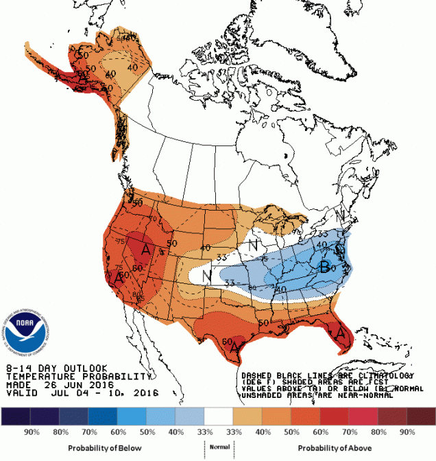
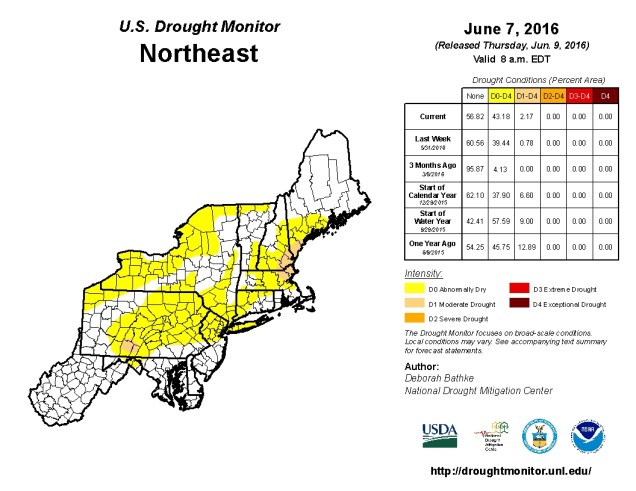
The upcoming week can be described fairly easily. We’ll start off hot, cool off just a bit, gradually get hot again, and then get REALLY hot next weekend. oh sure, there might be a few thunderstorms on Monday, again on Friday, and possibly next Sunday, but the key word there is few. As in, don’t count on getting one to cool you off. And certainly don’t count on helping alleviate the drought any time soon.
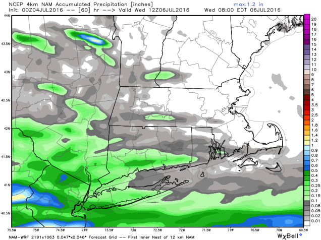
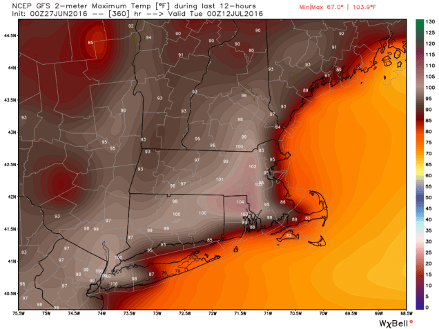
A cold front will cross the region today. Before it does though, with plenty of sunshine, temperatures will jump into the lower to middle 90s. When you factor in the humidity, the heat index will be in the middle to upper 90s across the region. As a cold front slices through this airmass in the afternoon, it will trigger showers and thunderstorms, some of which could be strong to severe. As is usually the case, the best chance for severe weather will be north and west of Boston. As the line of storms gets closer to the coastline, it will likely start to fall apart. High pressure then builds in for Tuesday, with cooler air behind the front. However, as the high moves offshore, south to southwest winds will allow temperatures to gradually warm up as the week goes on, with highs getting back into the 90s by late in the week. Another front will approach the region on Friday with another chance for showers and thunderstorms. After that, many of the models are indicating the possibility that the weekend, especially Sunday, could be hot. When we say “hot”, we mean “HOT”, as in, there is a chance that the high temperature in some places might be include a 3rd digit and begin with the number 1. Several of the models have been showing a signal for hot weather next weekend, but as always, timing is everything. Another front will be approaching the region, with the possibility of more showers and thunderstorms. Not only will the timing of the front be a big factor in the development of showers and storms, but it will also have an impact on how hot it gets. We should have more clarity on that as the weekend gets closer.
Monday: A sunny start, then clouds move in with showers and thunderstorms developing in the afternoon. Some of the storms could be strong to severe, with strong winds, hail, torrential downpours, and possibly even a tornado. High 88-95.
Monday night: Showers and thunderstorms taper off in the evening, followed by clearing skies. Low 63-70.
Tuesday: Sunshine and a few clouds. High 77-84.
Tuesday night: Mostly clear. Low 54-61.
Wednesday:Mostly sunny. High 77-84.
Thursday: Sunshine and some afternoon clouds. High 83-90.
Friday: Partly sunny, chance for showers and thunderstorms. Humid. High 88-95.
Saturday: A mix of sun and clouds. High 89-96.
Sunday: Partly sunny, chance for showers and thunderstorms. Humid. High 92-99.