
A few days ago, some of the models were starting to indicate that a prolonged period of hot weather was heading out way for the latter half of this week and into the following week. Well, the models have changed their tune, and it doesn’t look like we’re going to have several days in the upper 90s to lower 100s now. Oh there will still be a couple of warm to hot days, but not many.The other thing the past few months have been lacking is rainfall, and it’s starting to become a problem. There is some in the forecast, but not a lot. We really need a lot, though not at once, as that would create other problems. Overall though, if you’re on vacation this week, things will be pretty nice.

We start the week with a fantastic holiday – sunshine and warm temperatures. Perfect for a cookout, heading to the beach/lake/pool, shooting off fireworks, or all of the above. Tuesday looks “iffy” right now. A system will pass south of New England, but how far south is still up in their air. Some showers and thunderstorms are certainly possible, especially south of Boston. The farther north you go, the more likely you’ll stay dry. High pressure returns on Wednesday, then things get “iffy” again. A series of disturbances will move along the jet stream and across New England for the end of the week and the weekend. Timing these storms isn’t easy, and while our forecast will reflect the uncertainty with a chance of showers and thunderstorms each day, for the most part, things will be good, with none of the days being a washout.
Independence Day: Plenty of sunshine, fading behind some late-day high clouds. High 82-89.
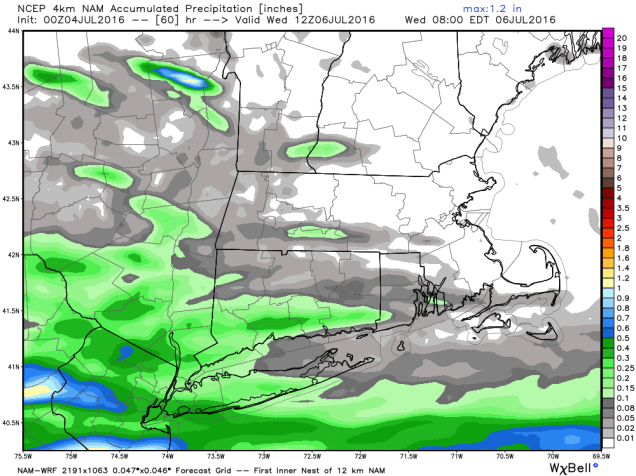
Tonight: Becoming mostly cloudy, chance of showers towards morning, mainly south of Boston. Low 59-66.
Tuesday: Mostly cloudy with showers and a few thunderstorms possible, especially south of Boston. High 80-87.
Tuesday night: Clearing skies.Low 61-68.
Wednesday: Partly to mostly sunny.High 88-95.
Thursday: A mix of sun and clouds, chance for afternoon showers and thunderstorms, mainly north and west of Boston. High 85-92.
Friday: Partly sunny, chance for a few showers and thunderstorms. High 78-85, coolest along the coast.
Saturday: Intervals of clouds and sunshine with a chance for showers and thunderstorms. High 77-84..
Sunday: Partly sunny with a chance for showers and thunderstorms. High 80-87.
