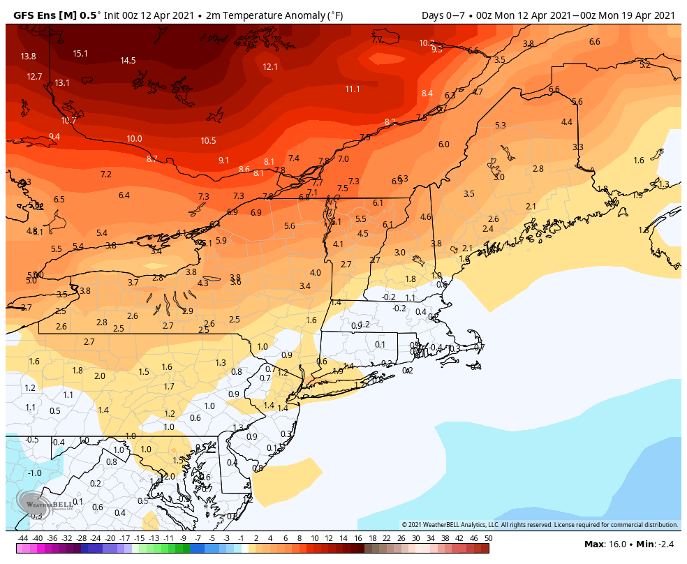
One of our colleagues called the current weather pattern a “quiet active pattern”, which is a very good way to describe the week ahead.
In the big picture, we’ve got an upper-level low pressure area in place for today into Tuesday before it moves out, but another one moves in for the end of the week and the start of the weekend. Looking a little closer, we’ve got some typical April weather, but since this is New England and not Florida, a lot of you probably won’t like it. Low pressure passes south of the region today into early Tuesday, with plenty of clouds around and a chilly east wind off the Atlantic. Some showers are possible, mainly today, but we’re not looking at widespread rainfall. Wednesday looks a little drier as high pressure tries to build in with some partial sunshine and mild temperatures.

The end of the week isn’t looking pretty at this point. As that second upper-level low pressure area moves eastward on Thursday, a low pressure area will likely spin up at the surface near the Mid-Atlantic coastline. As it gets caught up under the upper-level low, it will meander around near or just south of New England. The result will be chilly conditions, some gusty winds at times, and periods of rain from later Thursday into Saturday. But that’s not the entire story. With colder air aloft, we could see the rain change over to snow, with some accumulation in the higher terrain, such as the hills from northwestern Rhode Island into Worcester County and the Monadnocks of southwestern New Hampshire. Could we see snow mix in at lower elevations? Sure, it’s possibility, but accumulations aren’t likely (though not impossible). Remember, it was this same weekend last year (April 17-18), when we had a storm drop 3-6″ of snow on the hills, with up to an inch of snow across the rest of eastern Massachusetts and Rhode Island. We’ll obviously have a better handle on this situation when we do our Weekend Outlook on Thursday.

Once the system pulls away, conditions will slowly improve over the weekend as high pressure starts to build in.
Monday: Cloudy and breezy with a few showers possible. High 44-51.
Monday night: Partly to mostly cloudy. Low 35-42.
Tuesday: Plenty of clouds with a few sunny breaks. High 52-59, cooler along the coast.
Tuesday night: Mostly cloudy. Low 37-44.
Wednesday: Intervals of clouds and sunshine. High 54-61, cooler along the coast.
Thursday: Cloudy and breezy with showers developing, possibly changing to snow in the hills at night. High 49-56.
Friday: Windy with periods of rain, possibly mixed with snow at times, especially in the hills. High 35-42 north and west of Boston, 43-50 south of Boston.
Saturday: Cloudy with showers gradually ending. High 47-54.
Sunday: Partly sunny. High 54-61, cooler along the coast.