We’ve got a significant snowstorm on the way to the region for Saturday night. Hang on, we’re being told that even though the last week or so has felt like January in North Carolina, we’re still in Massachusetts, not North Carolina. So, let’s start over. We’ve got some snow on the way for Saturday night, but it shouldn’t be a big deal by New England standards.

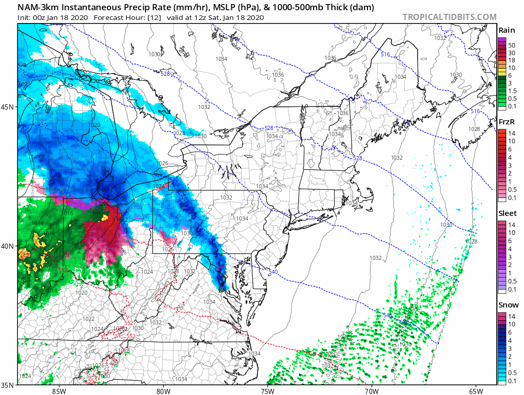
A cold and very dry airmass is in place across New England to start Saturday, thanks to a high pressure area moving across Northern New England. Temperatures are starting the day in the single numbers and teens, with dewpoints near or below zero. Meanwhile, a storm system will be moving out of the Great Lakes and heading for Northern New England later today. That will be out weather-maker for tonight and early Sunday.

We’ll see high clouds start streaming in by midday, and they’ll thcken up during the afternoon. It’ll take some time for the air to moisten up, but it will eventually, and snow will start falling right around dinnertime for most of us, a little earlier to the west. This will be a fast-moving storm, with the snow actually tapering off and ending around midnight. It looks like any rain/snow line will be confined to southeastern Massachusetts and Rhode Island. After midnight, a little freezing drizzle or some flurries are possible as the system starts to pull away, but the accumulating snow should be all done.
The snow could fall at a decent clip during the evening hours, with some places possibly seeing an inch per hour. So, if you’tre going to be out and about, take it slow and drive carefully. How much snow are we expecting?
Cape Cod/South Coast: 1-3″
Southeastern Mass/I-95 corridor (Boston/Providence): 2-4″
MetroWest/Merrimack Valley/NH Seacoast: 3-5″
Southern NH/Southern Maine: 3-6″
Central NH: 4-8″

Behind the storm, Sunday will be a nice day, with developing sunshine and temperatures in the 30s to near 40, which will help melt some of the new snow. You’d better get out and clean up the driveway though, because everything is going to freeze solid Sunday night as another arctic airmass settles into the region. Temperatures may not get back above freezing until Wednesday afternoon, possibly not until Thursday, but a warmup is expected for the end of the week.
