The forecast for this week is fairly straightforward for most of the work week. Next weekend? Well, there could be some issues.

The week starts off on a chilly, but dry note with high pressure in control. If you’re up early enough, you may need to find the scraper for your windshield before you head out. Either that, or turn the defroster on and let in run for a but before you get in the car.Yup, it’s that time of year again. Clouds will start to stream in late in the day as a fast-moving storm system approaches from the Great Lakes. That system will bring us some rain showers on Tuesday. If the rain moves in early enough, we could see some snowflakes mixing in, mainly across the higher terrain from central Massachusetts into southwestern New Hampshire.
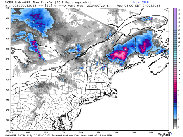
As that system departs, it will start to strengthen as it moves into the Gulf of Maine and Atlantic Canada. It may drop a decent a mount of snow from the mountains of northern New England into parts of northern Maine and New Brunswick, but around here, we can expect breezy and cooler conditions for Wednesday and Thursday. High pressure builds in on Thursday, allowing the winds to die down, with dry and cool conditions continuing into Saturday.
Later Saturday and into Sunday is where things start to get complicated. Hurricane Willa will make landfall in southwestern Mexico on Tuesday, then move into Texas, and then the Gulf of Mexico (but not as a tropical system any more). From there, it will start to head up the East Coast, while becoming a strong storm system once again. High pressure to the north should block in from getting in here on Saturday, though the clouds ahead of the system will move in. It’s Sunday that could be a problem. As the high continues to retreat to the north and east, we’ll still have plenty of cold air in place Saturday night into Sunday. As the storm starts to move up the coast, it will spread some moisture into the region. If you have cold air trapped at the surface while moisture and milder air move in aloft, you have the potential for problems. While coastal areas will just see a gusty winds and a cold rain, across interior areas, we have the potential for some sleet or freezing rain on Sunday. Milder air should eventually win out, with a change to all rain even across the interior. There are other models that have the storm pass to our west, which would just mean a wind-swept mild rain. Obviously, there’s a lot of uncertainty with future of this system. For now, we’re leaning towards the colder scenario, but it’s low confidence. As we get later in the week, if this scenario becomes more likely, we’ll keep you updated.

Monday: Sunny and chilly to start, clouds start to move in during the afternoon. High 45-52.
Monday night: Becoming mostly cloudy, showers developing towards daybreak, possibly mixed with some wet snowflakes across the interior. Low 35-42.
Tuesday: Cloudy with scattered showers. High 45-52 north and west of I-495, 53-60 elsewhere.
Tuesday night: Showers ending in the evening, then some clearing late at night. Low 34-41.
Wednesday: Becoming partly to mostly sunny and breezy. High 46-53.
Thursday: Sunshine and a few clouds, still breezy. High 40-47.
Friday: Partly to mostly sunny. High 41-48.
Saturday: Some early sun, otherwise thickening clouds throughout the day. Breezy again. High 44-51.
Sunday: Cloudy and breezy with rain likely , possibly starting as a period of freezing rain and/or sleet across the interior. High 39-46 north and west of I-495, 47-54 elsewhere.
