Fall has finally arrived, and you’ll know it for sure this week. If you’re playing the game of trying to avoid turning on the heat before November 1, there’s a good chance you’ll lose before this week is out.
We start the week off with low pressure passing well north of our area. This low used to be Hurricane Sergio in the Pacific Ocean. As it moved across the nation’s mid-section, it produced severe weather in the Mississippi Valley and heavy snow from the Rockies into parts of the Plains. Nothing like that is expected here, but it will bring in some milder air today, along with some showers, mainly during the afternoon an evening. A cold front trailing the system pushes through in the evening which produce some heavier showers, maybe even a thunderstorm, and some gusty winds.
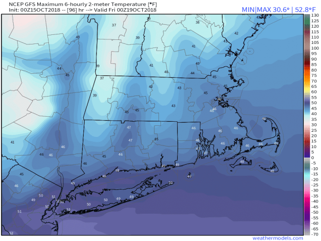
High pressure builds in on Tuesday with sunshine and breezy conditions, but it’ll turn cooler. The high slides offshore on Wednesday, allowing slightly milder air to move back in, but it’ll be short-lived. Another cold front approaches. This one won’t contain a lot of moisture, so only a few showers are expected. Behind it, windy and much cooler conditions are expected on Thursday. In fact, Thursday will likely be the coolest day we’ve had since the end of April, with high temperatures likely staying below 50 across much of the region.
The cool shot doesn’t last long though, as high pressure moves offshore, allowing temperatures to moderate again. However, another cold front moves through on Saturday, bringing some more showers to the region. Once again, the front moves through, and windy and cooler conditions return on Sunday.
Monday: Mostly cloudy and breezy with showers likely, especially during the afternoon. High 59-66.
Monday night: Showers end in the evening, possibly with some thunder, then skies clear out by daybreak. Low 40-47.
Tuesday: Sunshine and a few clouds, breezy. High 50-57.
Tuesday night: Clear to partly cloudy. Low 39-46.
Wednesday: A mix of sun and clouds, breezy, slight chance for a late-day shower. High 53-60.
Thursday: Partly to mostly sunny, breezy, and cooler. High 41-48.
Friday: Sunshine dimmed by afternoon high clouds. High 53-60.
Saturday: Cloudy with some showers possible. High 54-61.
Sunday: A mix of sun and clouds, breezy. High 44-51.
