Unlike the last storm, which we admittedly underestimated, this storm is likely not going to live up to expectations for parts of the region, mainly north and west of Boston.
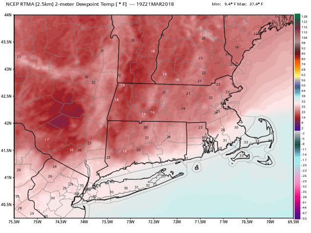
As the storm starts to move in this afternoon and evening, there is a lot of dry air in place. Dewpoints are only in the upper teens and 20s across much of the region. So, as the moisture from the storm moves in, it’s moistening up the atmosphere slowly, but anything that falls from the clouds is evaporating before hitting the ground.
Eventually, the moisture will overcome this drier air, but the storm is also tracking a little farther to the south than we were thinking yesterday. As a result, snowfall totals will be considerably lower north and west of Boston than our previous forecast. Of course, this also means that there could be a bit more snow than we were thinking south of Boston, especially across Cape Cod, though some rain could still mix in there, which would limit amounts a bit.. This scenario was first hinted at by the ECMWF model 2 days ago, and most meteorologists thought of it as an outlier, since most of the other model guidance was painting a snowier scenario. We tended to discount it as well, but in the back of our minds, we kept hearing a phrase that a noted meteorologist has repeated over and over to us “Ignore the Euro at your own peril.”

So, with that in mind, we are revising our forecast to be closer to what the European model is showing (but not exactly):
Southeastern Massachusetts/Cape Cod: 5-9″ (possibly less on the Outer Cape if rain mixes in)
I-95 Corridor (Boston/Providence): 4-7″
MetroWest: 3-5″
Merrimack Valley/NH Seacoast: 2-4″
Southern NH (Nashua/Manchester): 1-3″
This will still be a fairly wet snow south of Boston, so keep that in mind when you go out to shovel it tonight or Thursday. Once the sun comes up, thanks to the higher sun angle, any additional accumulations are not expected on paved or treated surfaces. Everything should wind down and end completely by early Thursday afternoon.

As this storm moves into Atlantic Canada, and upper-level low will settle into the Northeast for Friday and Saturday, keeping us cloudy and cool. An impulse riding around the system may bring some light snow and snow showers in on Saturday, but accumulations will likely be on the light side, if we get much at all.
