The weekend won’t be half bad around here. Of course, that means it’ll only be half good.

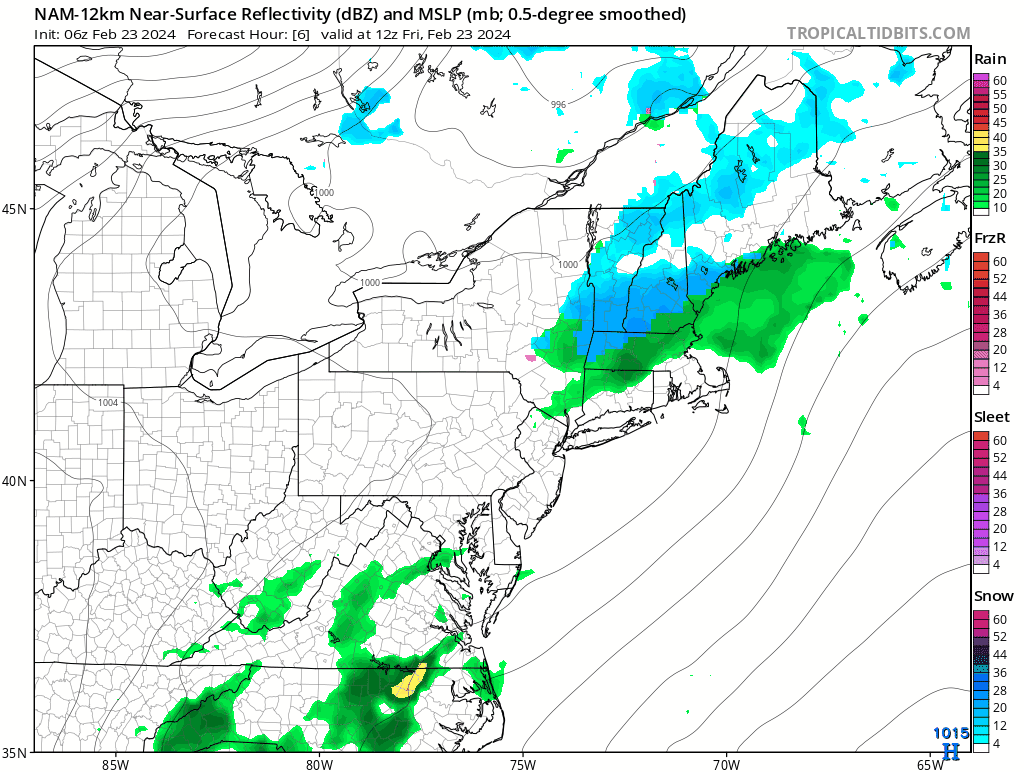
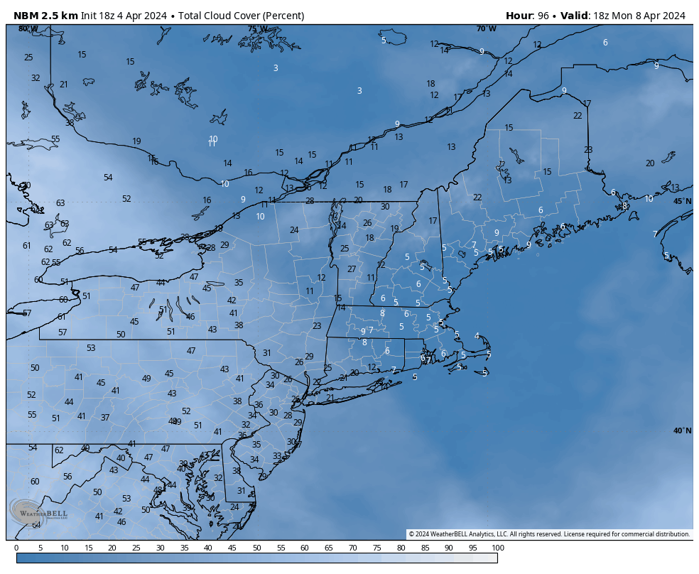
The storm that brought us more heavy rain, gusty winds, and a variety of wintry conditions will pull away from the region tonight, but it won’t get that far. An upper-level low will move in, capturing the surface low pressure area. As a result, it’ll just drift around over the Gulf of Maine and eastern New England for a few more days. That’ll keep plenty of clouds around with cool temperatures and some occasional rain or snow showers into Saturday. By Sunday, the system will finally begin to move away, with gradual clearing expected, though temperatures will remain cool. For Monday, high pressure builds in with sunshine and mild temperatures – perfect for eclipse viewing in the afternoon. Taking a quick peek at Tuesday for the Red Sox home opener, it should be sunny and seasonably cool, but a seabreeze (or backdoor cold front) may keep temperatures considerably cooler than places farther inland.
Thursday night: Plenty of clouds, a few more snow showers from the North Shore into southern New Hampshire, some clearing possible across Cape Cod, winds diminish. Low 28-35.
Friday: Mostly cloudy, chance for a few rain or snow showers, a few sunny breaks across Cape Cod and the South Coast, breezy. High 41-48.
Friday night: Partly to mostly cloudy with few snow or rain showers possible. Low 31-38.
Saturday: Mostly cloudy, breezy, chance for more snow or rain showers. High 40-47.
Saturday night: Mostly cloudy, snow or rain showers taper off. Low 30-37.
Sunday: Plenty of clouds, a few lingering snow or rain showers early, some late-day sunny breaks develop, breezy. High 41-48.
Sunday night: Becoming clear. Low 29-36.
Monday: Sunshine and some afternoon high clouds. High 55-62.