An active weather pattern will bring many changes to our weather this week.
We start off the week with a little rain across southeastern Massachusetts behind a departing disturbance. The rest of the day will be mild, but a cold front will swing through this afternoon with the chance for a few showers. We’ll clear out for a little while tonight behind that front, but clouds quickly return on Tuesday ahead of another disturbance. This one will bring in some more showers on Tuesday, but some snow could mix in, especially from the Merrimack Valley into southern and central New Hampshire. Accumulations won’t amount to much, but an inch or so is possible in southern New Hampshire. The real changes start on Wednesday.

A double-barreled low pressure will move out of the Great Lakes and head toward the region later Wednesday into Thursday and early Friday. This will bring a variety of weather in. Precipitation will move in late Wednesday afternoon and evening, and will likely start as snow for much of the region, with a wintry mix or rain likely near the South Coast. Warmer air will move in aloft, eventually changing the precipitation to sleet and freezing rain. A change to plain rain is likely near the South Coast, but temperatures may stay below freezing across much of the remainder of the region, with a prolonged period of sleet and/or freezing rain possible Wednesday night and early Thursday. We may get a bit of a break Thursday afternoon before the second part of the system moves in with more mixed precipitation Wednesday night into Thursday morning. There is the potential for several inches of snow before the changeover Wednesday night and Thursday morning, especially north of the Mass Pike, but this is highly uncertain at this point. Either way, the Thursday morning commute will be a mess.

High pressure builds in for late Friday and Saturday with some chilly weather, then another system quickly follows late Saturday into Sunday with a chance for some more light snow, possibly mixed with rain, especially near the South Coast.
Monday: Mostly cloudy, chance for a few showers during the afternoon, some late-day clearing, breezy. High 51-58.
Monday night: Partly cloudy through the evening, clouds move back in late at night. Low 27-34.
Tuesday: Cloudy and cooler with some rain or snow showers likely during the afternoon and evening. High 36-43.
Tuesday night: Clearing, breezy. Low 24-31.
Wednesday: Early sun, then clouds return, snow and sleet developing at night. High 37-44.
Thursday: Snow changing to sleet and freezing rain, plain rain south of Boston, breezy. High 25-32 north of the Mass Pike, 33-40 south of the Pike.
Friday: Snow, sleet, freezing rain, and rain ending early, some late-day clearing, windy. High 30-37.
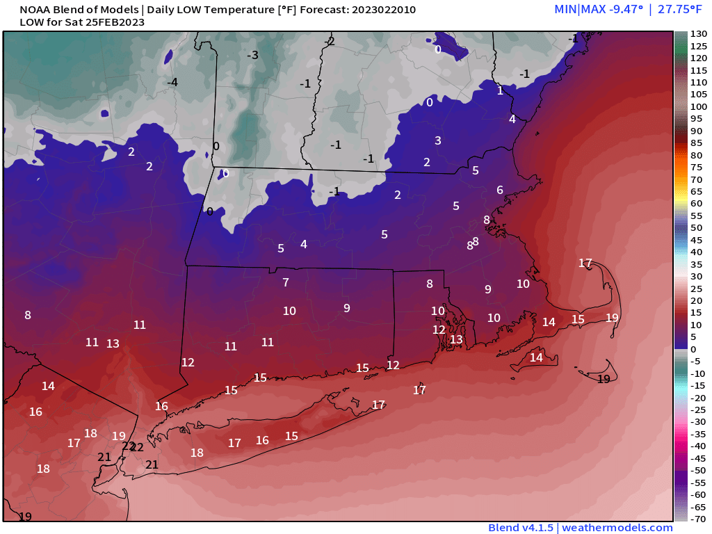
Saturday: Partly sunny and chilly, clouds thicken up in the afternoon, light snow developing at night, mixed with rain near the South Coast. High 23-30.
Sunday: Snow or rain ending early, some late-day clearing, breezy. High 36-43.
