Winter has finally arrived, and it looks like it may hang around for a while.
The second half of our double-barreled low pressure system will move across the region this evening and tonight, with another round of sleet, freezing rain, possibly some light snow, and plain rain near the South Coast. This round of precipitation should be light, and done shortly after midnight. A strong cold front moves through Friday morning, possibly accompanied by a few snow showers. We’ll gradually clear out behind it in the afternoon, but strong northwest winds will usher much cooler air in, with temperatures dropping during the day. High pressure settles in Friday night, resulting in a rather chilly night, with lows dropping into the single numbers, possibly below zero in some of the colder spots, especially into southern New Hampshire. There will still be some wind around, so wind chills will drop below zero. Saturday will be a chilly day, but clouds will quickly return and thicken up as a weak disturbance moves through, possibly producing a few snow showers. Another weak system moves through on Sunday, with a few more snow or rain showers possible, then drier weather returns for Sunday night and early Monday. Clouds move back in during the day on Monday ahead of yet another storm system.
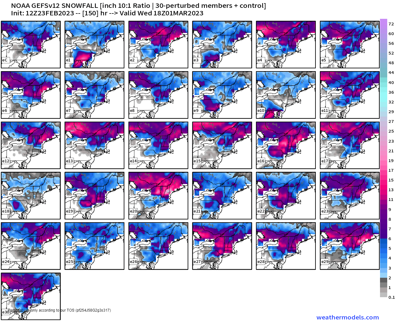
We don’t normally go beyond Monday on the Weekend Outlook, but wanted to address the next storm system currently expected to move in for Monday night and Tuesday. Some of the forecast models have shown the potential for a sizeable snowstorm around here on Tuesday. As you’d expect, the model snow maps have spread like wildfire across the internet. The thing is, right now, it’s just that – potential. The potential storm is still 5 days away, and the forecast models have been horrendous beyond about 2 or 3 days, so why should we trust the models with a 5-day forecast? The Ensembles also show the potential for a snowstorm, but a light to perhaps moderate one, not the blockbuster storm some of the operational models are showing. Yes, this winter has been fairly non-existent until the last few days, but a well-advertised pattern change has taken place. That doesn’t mean that suddenly every storm is going to be all snow (the current one isn’t). We’ll obviously have a lot more detail in our Weekly Outlook early Monday morning, but for now, don’t get too concerned about the chance for a blizzard on Tuesday. Certainly you should be prepared for a storm (it is winter in New England after all), but if there’s cause for concern, we’ll let you know.
Thursday night: Cloudy with a wintry mix of light snow, sleet, freezing rain, and plain rain near the South Coast, ending after midnight. Low 19-26 north of the Mass Pike, 27-34 south of the Pike during the evening, temperatures may rise a bit overnight.
Friday: Clouds with some afternoon sunny breaks, windy, a few stray snow showers are possible in the morning. High 31-38 in the morning, temperatures drop through the afternoon.
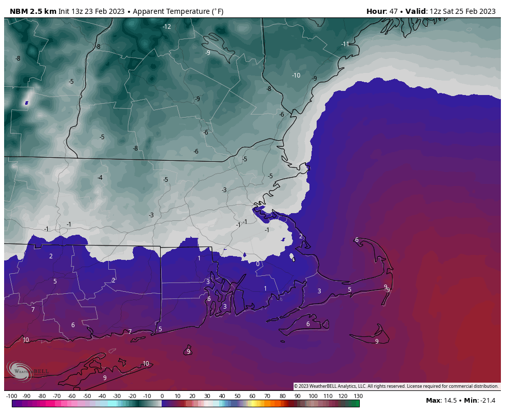
Friday night: Clearing, except across the Outer Cape, breezy, and cold. Low 3-10.
Saturday: Becoming cloudy with a few flurries possible. High 19-26.
Saturday night: Partly to mostly cloudy. Low 8-15.
Sunday: Mostly cloudy with a chance of snow or rain showers. High 34-41.
Sunday night: Becoming partly cloudy. Low 15-22.
Monday: Early sun, then increasing clouds. High 32-39.
