Changes are on the way as astronomical summer comes to an end and autumn begins later this week.
We start the week off with a backdoor cold front stalled out across the region, making for a rather tricky temperature forecast. North of the front, northeast to east winds will keep temperatures in the 60s (even upper 50s near the coast), while south of the front, temperatures will get well into the 70s once again. A wave of low pressure will pass north of the region later today, producing some showers and possibly thunderstorms during the afternoon and evening. Tuesday looks to remain rather cloudy and on the cool side with a few more showers possible as an upper-level disturbance moves across the region. Wednesday should be a rather nice day with some sunshine and milder temperatures, but don’t get used to it. Another cold front starts to approach late in the day, with another round of showers and perhaps thunderstorms expected Wednesday night into early Thursday. This brings us to the start of fall and the bigger changes.
The autumnal equinox occurs at 9:03pm Thursday, marking the end of astronomical summer and start of astronomical fall, and right on cue, some fall weather will settle in. The system moving through early Thursday will move offshore, allowing much cooler air to settle in. How cool? The rain may end as some wet snow across the mountains of northern New England. (Yes, really.) Around here, high pressure builds in, and despite sunshine, temperatures may struggle to reach 60 in some spots on Friday. Friday night looks rather chilly, with some frost possible in the normally cooler locations. Temperatures will moderate a bit over the weekend, but likely will remain below to near normal.

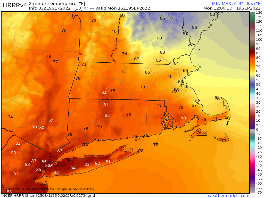
Monday: A few sunny breaks across Cape Cod early, otherwise partly to mostly cloudy with a few showers or some drizzle early, showers becoming more widespread during the afternoon, except along the South Coast. High 57-64 across the Maine and NH Seacoast, 64-71 elsewhere north of the Mass Pike and east of Worcester, 72-79 south of the Mass Pike.
Monday night: Mostly cloudy with scattered showers, possibly a thunderstorm, mostly before midnight. Low 55-62.
Tuesday: More clouds than sun, chance for another shower or two. High 64-71.
Tuesday night: Partly to mostly cloudy. Low 50-57.
Wednesday: Partly sunny, showers move in by evening, continuing overnight. High 68-75.
Thursday: Showers gradually ending, skies start to clear out late in the day, breezy at times. High 68-75.
Friday: Sunshine and a few clouds, breezy, and cool. High 57-64.
Saturday: Mostly sunny. High 62-69.
Sunday: A mix of sun and clouds. High 67-74.
