Our early taste of summer continues through the weekend, but changes are on the way.
High pressure remains in control on Friday with partial sunshine and warm temperatures. We’ll only have partial sunshine as some smoke from wildfires in Canada will drift across the region at times, thanks to our northwesterly flow aloft. A series of weak disturbances will move along that flow over the next couple of days, bringing us some additional clouds and possibly a few showers and thunderstorms, especially late in the day Saturday. Not everyone will get one, so don’t go cancelling any outdoor plans, but keep an eye on the sky (or the radar) if you will be outside.

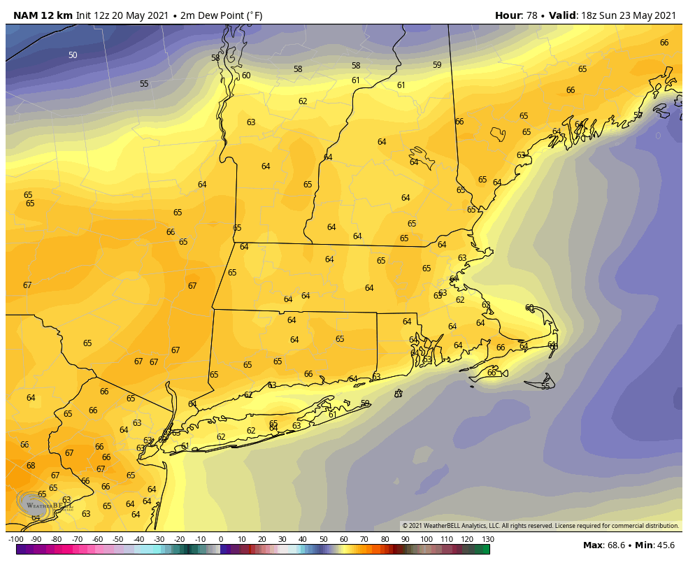
Sunday looks like it’ll be a warm and somewhat humid day (by May standards), but a backdoor cold front will be approaching the region. These fronts usually don’t produce a lot of precipitation, but with the airmass we’ll have in place and another disturbance dropping down, we’ll likely see showers and thunderstorms develop. There will likely be more of them than on Saturday, but the day shouldn’t be a washout. A few of the storms that do form could produce gusty winds and heavy downpours, so again, if you’ve got outside plans, be aware of what’s going on. High pressure builds back in on Monday with much cooler conditions.
Thursday night: Partly to mostly cloudy, slight chance for a shower, mainly well north of Boston. Low 47-54.
Friday: A mix of sun and clouds, just a slight chance for an afternoon shower, mainly well north and west of Boston. High 79-86, cooler along the coast.
Friday night: Mostly cloudy, a few showers are possible. Low 55-62.
Saturday: More clouds than sunshine, some showers and thunderstorms are possible during the afternoon. High 80-87, cooler along the coast, especially the South Coast and Cape Cod..
Saturday night: Partly cloudy. Low 58-65.
Sunday: Partly sunny, chance for some afternoon showers and thunderstorms. High 83-90.
Sunday night: Clear to partly cloudy. Low 47-54.
Monday: Partly to mostly sunny. High 65-72.
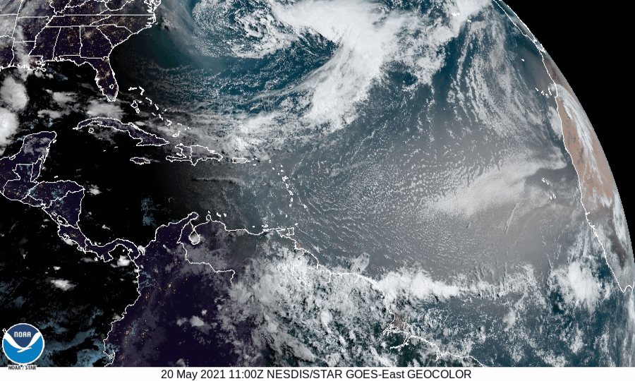
Finally, it’s getting to that time of year – hurricane season. The season officially begins on June 1, and we’ll have a special post dedicated to the start of the season, including statistics about how here in New England we are significantly overdue for a storm. However, there is an area of low pressure northeast of Bermuda that the National Hurricane Center has its eyes on right now. It’s not tropical, but they think it could become subtropical in the next day or two as it heads southwestward toward Bermuda. We’re not sure if it will become subtropical or not, but then again, that’s not our call. They’ll likely waste the first name of the season (Ana) on the storm, which will make seven years in a row that we get a “named” storm before the official start of hurricane season. Over the weekend it will turn back toward the northeast and head out into the open Atlantic. If it does get named, we’ll have a special post on it. Also, NOAA issued their hurricane outlook today. To the surprise of nobody, NOAA is expecting another above normal hurricane season with 13-20 named storms, 6-10 hurricanes, and 3-5 major hurricanes.
