The forecast for this weekend is rather simple, yet complicated at the same time.

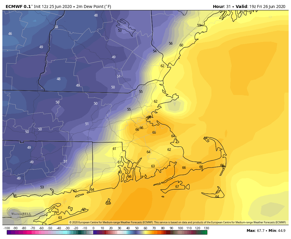
We’ve got a nice afternoon in progress with sunshine, warm temperatures, and lower humidity, but as is usually the case, that won’t last too long. A weak disturbance moves through tonight, with a few showers, possibly a thunderstorm, focused mainly south of the Mass Pike. High pressure then slides offshore on Friday, with southwest winds, bringing more humidity back to the region. It won’t be as humid as Wednesday was, but it’ll be more noticeable than today.
By late Friday, a low pressure area will move across Ontario and into southern Quebec. A warm front ahead of the low will move across the area Saturday morning, resulting in another warm and humid day, but with a bit more in the way of cloudcover. As the low continues to move eastward, it will drag a cold front across the region late Saturday night and into Sunday. This front will produce some showers and thunderstorms late Saturday afternoon and into Saturday night. This is where things get complicated.
Conditions will be favorable for some strong to possibly severe thunderstorms if everything falls together properly. If we get enough sunshine, conditions could become unstable enough for strong to severe storms to form. Some of the storms could produce strong winds and heavy downpours. However, if there’s more in the way of cloudcover, and temperatures are a bit cooler, then we’d just be looking at showers and a few thunderstorms late Saturday and Saturday night.

Showers may linger into Sunday as the front moves offshore. As has been the case for a while now, there will be a few spots that pick up some heavy rain in downpours, but most of us will see just a little or even no rainfall. This will provide little to no relief from the drought conditions that are developing across the region. High pressure starts to build in later on Sunday with clearing likely at night, and then Monday should feature seasonably warm temperatures and low humidity, but with an upper-level low pressure area moving through, a few pop-up showers are possible.

Thursday night: Partly to mostly cloudy with a few showers or thunderstorms possible across Rhode Island and southeastern Massachusetts, clear to partly cloudy elsewhere. Low 60-67.
Friday: Sunshine and some afternoon clouds. High 80-87.
Friday night: Clear to partly cloudy. Low 59-66.
Saturday: Intervals of clouds and sunshine, some showers and thunderstorms are expected during the afternoon and evening. High 78-85.
Saturday night: Partly to mostly cloudy, showers and storms gradually taper off. Low 62-69.
Sunday: More clouds than sun, some additional showers are possible. High 83-90.
Sunday night: Clear to partly cloudy. Low 61-68.
Monday: A mix of sun and clouds, slight chance for a shower or thunderstorm. High 80-87.
