Yes, snow is still on the way, and this is an update to our forecast, but it really hasn’t changed that much.
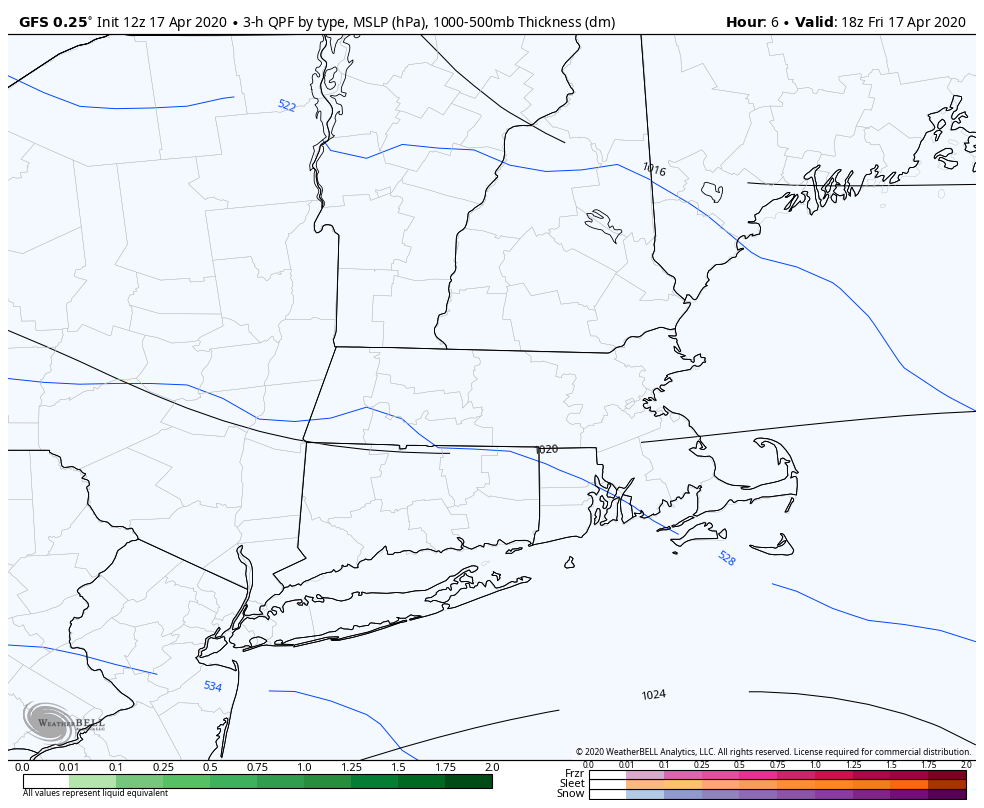
Low pressure will move out of the Ohio Valley today, passing south of New England early on Saturday. We’ll have some cold air in place, so many of us will have some snow Saturday morning, but don’t worry, it won’t be a lot, and it won’t hang around for too long.
The precipitation will move in around midnight, and it will likely start as rain for most of us, with temperatures still in the upper 30s to lower 40s. However, it will quickly change over to snow as temperatures drop into the middle 30s. It looks like there may be a burst of moderate to heavy snow overnight, especially along and south of the Massachusetts Turnpike. A change back to rain is expected towards daybreak, except in the hills from northern Rhode Island into Worcester County and the Monadnocks in southwestern New Hampshire.
As we mentioned yesterday, it’s awfully tough to get accumulating snow in mid-April for a variety of reasons, but there are some things that will help this time. First of all, most of the snow will fall at night. Once the sun comes up, the sun angle is similar to late August, so once we get past about 7-8am, even if there are still flakes falling, there won’t be any more accumulation. Second of all, temperatures will be close to freezing. Third, the snow may come down at a decent clip, which will help bring down a little bit of colder air from aloft. Working against accumulating snow is the fact that the ground is warm. Any accumulations will be mainly confined to grassy surfaces, as the pavement is considerably warmer. There may be a little slush on paved surfaces, but not much. Also, we’re not going to have a large window of time for accumulating snow. As we said, the precipitation will start as rain around midnight before flipping to snow. Once it does start snowing, it will take a little time to start accumulating, due to the wet/warm ground. That will take until 1-2am, and by 7am, the daylight will help put an end to accumulations. So, we’ve really only got about 5-6 hours of accumulating snow out of this system.
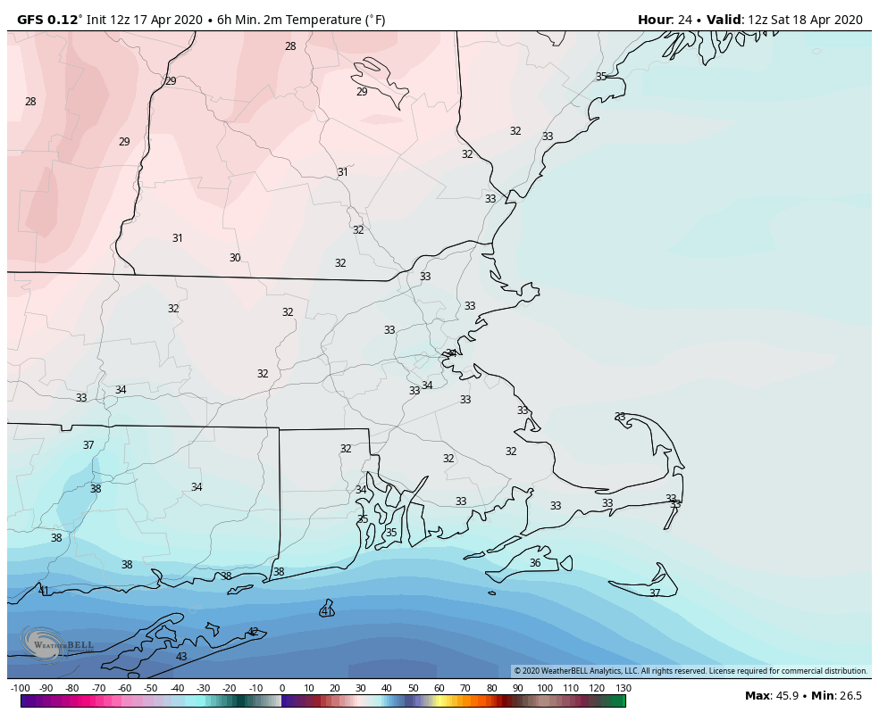
So, how much do we expect now? Our thinking really hasn’t changed too much from yesterday. The jackpot is still going to be in the Worcester Hills and the Monadnocks, where 3-5″ is expected, possibly some heavier amounts. For the rest of us, a general 1-3″ from southern New Hampshire into the Merrimack Valley and Metro West, as well as the Seacoast of New Hampshire. The immediate Boston area will probably see around 1 inch. The biggest question mark for us is the area south of the Mass Pike into northern Connecticut, northern Rhode Island, and parts of southeastern Massachusetts. There will be some heavier precipitation here, but temperatures may also be a bit milder. Right now, we’re thinking 1-2″ for places like Woonsocket, Brockton, and Taunton, but it could end up a bit more if there is that heavier burst of snowfall. It also could end up less if temperatures stay in the upper 30s instead of dropping into the middle 30s.

The rest of Saturday will feature rain showers and temperatures in the upper 30s to lower 40s, which will help melt away some of the snow from the morning. Skies will clear out at night, but clouds will come back in Sunday afternoon ahead of the next storm system. The good news is that Sunday will see temperatures well into the 50s and lower 60s, so that should take care of the rest of the snow. That next system? It’ll stay well offshore, but may produce a few rain showers on Monday. Is this the last time we’ll see snow until the fall/winter? Possibly. History says it can snow as late as mid-May here, so we can’t completely rule it out. In yesterday’s blog, we mentioned the possibility of flakes around April 28-29, based on the ECMWF Ensemble and its 51 members. Well, the newest run of that model no longer has that threat, but a significant portion of the ensemble members have at least a trace of snow for parts of the area around May 2, with a little bit of wet snow mixed in during a rainstorm. So, there’s a good chance tonight is our last accumulating snow for several months, but it might not be the last time we see some snowflakes. That same model also shows high temperatures near or above 70 on a regular basis starting around the middle of May.
