This may be one of the shortest blog posts we’ve ever written, because the forecast for this week is ridiculously simple.
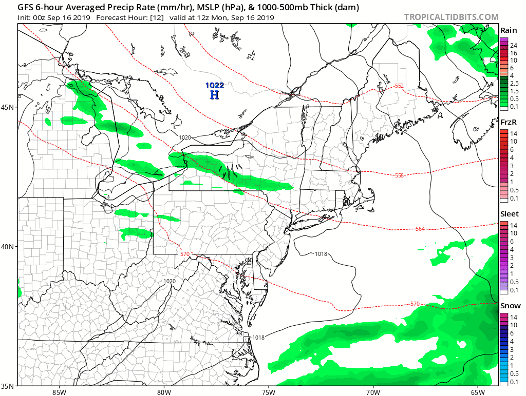
A weak disturbance will cross the region today, with some clouds and maybe a shower or two here or there. Maybe. We’re not even convinced that any will pop up. A weak backdoor cold front may produce a few showers early Wednesday, mainly along the coast. Otherwise, high pressure is in control for most of the week and into the weekend. It’ll be on the cool side for Tuesday into Thursday, then we’ll warm up for Friday and the weekend. That’s it. That’s the forecast for the week. Really.
Monday: Partly to mostly sunny north of the Mass Pike. Intervals of clouds and sunshine south of the Pike with just a very slightly chance for a shower. High 68-75.
Monday night: Clear skies. Low 47-54.
Tuesday: Sunshine and a few clouds. High 64-71.
Tuesday night: Becoming partly to mostly cloudy, chance for a few showers or some drizzle, mainly along the coast. Low 48-55.
Wednesday: A shower or some drizzle early, then becoming partly sunny. High 61-68, coolest along the coast.
Thursday: Unlimited sunshine (from sunrise to sunset only). High 65-72, coolest along the coast.
Friday: Wall-to-wall sunshine. High 72-79.
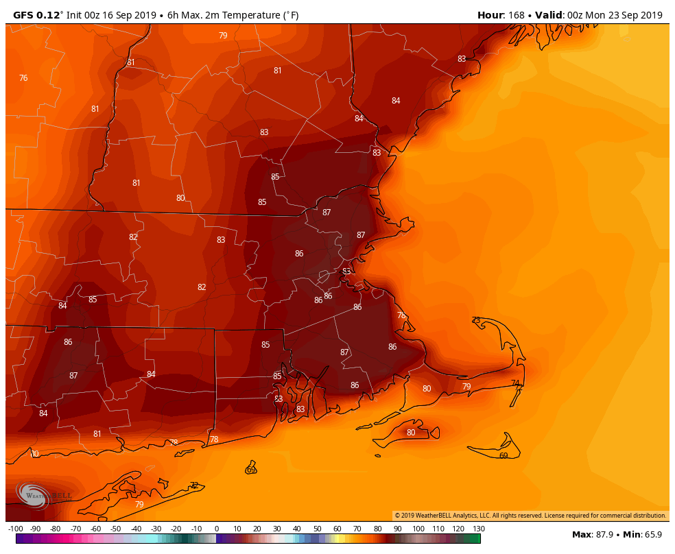
Saturday: Sun, sun, and more sun. High 76-83.
Sunday: Mostly sunny, maybe a couple of clouds just for a chance of pace. High 78-85.
