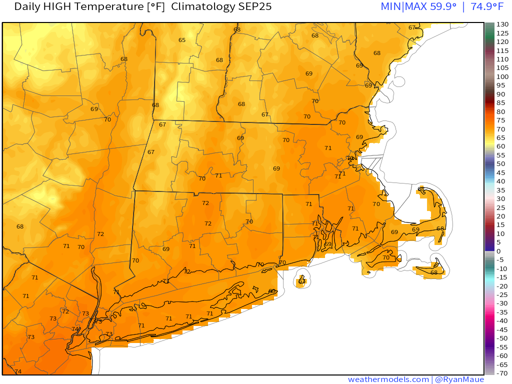
The autumnal equinox occurs at 3:50AM today, which means that by the time you read this, fall will have already started. Naturally, it will still feel like summer today.

We’ll start off fall with unseasonably warm temperatures once again, but clouds will start to move in ahead of a cold front. This front will produce some showers and maybe a few thunderstorms later today and tonight as it moves through the region. Cooler air settles in behind the front for Tuesday, but an upper-level low moving across the Northeast may result in some clouds and possibly another shower or two.

High pressure builds in for Wednesday and Thursday with dry weather. Temperatures will remain above normal, and should start to warm up again, but another cold front will quickly follow. This one will produce some more showers late Thursday and Thursday night, with high pressure building back in for Friday.
For next weekend, right now, it looks like we’ll be in a similar pattern with a warm day on Saturday, then a cold front brings in showers followed by cooler weather on Sunday. However, there is a chance that this front gets hung up north and west of the region or possibly even washes out. If that were to happen, Sunday could end up significantly warmer. We’re leaning against this scenario right now, but it is a possibility.
When will fall finally arrive? Well, right now, it looks like the unseasonably warm weather will continue into at least the first few days of October before we see a pattern change. Cooler weather looks like it may arrive late next week, which is perfect as far as we’re concerned, because that’s when hockey season starts. It shouldn’t be in the 70s around here when the Bruins are playing, unless it’s deep in the playoffs in May or June.

Monday: Some morning sunshine, then increasing clouds and breezy with showers and possibly some thunderstorms developing late in the day. High 81-88, cooler along the South Coast.
Monday night: Mostly cloudy with showers and thunderstorms ending from west to east, skies will clear out north and west of Boston overnight. Low 58-65.
Tuesday: A mix of sun and clouds, chance for a shower or two in the afternoon, mainly north and west of Boston. High 71-78.
Tuesday night: Mostly clear. Low 48-55.
Wednesday: Sunshine and some afternoon clouds. High 68-75.
Thursday: Morning sunshine, then becoming mostly cloudy and breezy during the afternoon with some showers possible late in the day and into the evening. High 74-81.
Friday: Sunshine and a few clouds. High 69-76.
Saturday: Intervals of clouds and sunshine with a chance for a few showers. High 74-81.
Sunday: Plenty of clouds, some sunny breaks develop in the afternoon. High 70-77.
Note – this outlook is usually posted very early Monday morning. Next week, it may not get posted until late morning. We at StormHQ are taking a little road trip next week to western New York, to watch the Patriots stomp the Bills on the road to their seventh Super Bowl title. Since we have an early morning flight home Monday, we may not get a chance to write and subsequently post the weekly outlook until we’re back at the StormHQ World Headquarters Compound until late Monday morning.
