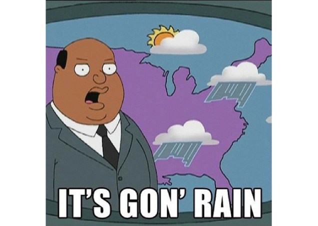
Yup, It’s gonna rain alright. In fact, it’s gonna rain a LOT. But, overall, the week won’t be that bad.
The week actually starts off with high pressure hanging on for one more dry day. We may have some fog around in the morning, but once it burns off, we’ll see the sun come out. However, high clouds will start streaming in, dimming the sunshine. They’ll thicken up as the day goes on. Showers will develop at night what’s left of Florence starts to move toward the region.
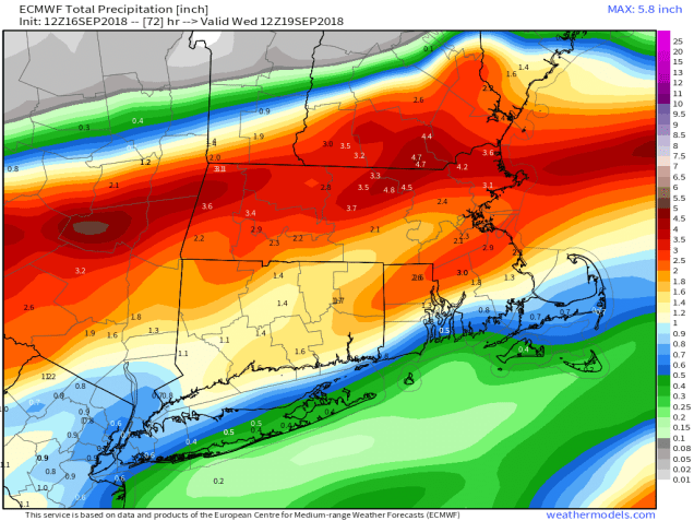
The remains of Florence will move through on Tuesday, bringing us rain – a lot of it. Now, we’re not going to get 2-3 feet like they had in the Carolinas, but a widespread 1-3 inches is likely, with some heavier amounts. The rain will come down heavy at times, and winds will be a little gusty at times. We may even have a few rumbles of thunder. Some localized flooding is possible, so you may want to be careful if you’re out and about on Tuesday.

The rain ends Tuesday night, but skies may be slow to clear on Wednesday. Once they do high pressure builds in with drier and cooler conditions that last into Thursday. Another quick-moving system may bring in some more showers on Friday, before high pressure returns on Saturday. Then, another system quickly moves in for Sunday with more showers expected.
Monday: Morning fog burns off revealing sunshine which then fades behind increasing and thickening clouds. High 77-84.
Monday night: Cloudy with showers developing, becoming a steady rain by daybreak. Low 63-70.
Tuesday: Breezy with periods of rain, heavy at times, possibly a rumble of thunder. High 71-78.
Tuesday night: Showers ending in the evening, but skies remain mostly cloudy. Low 57-64.
Wednesday: Clouds eventually give way to partly to mostly sunny skies. High 66-73.
Thursday: A mix of sun and clouds. High 64-71.
Friday: Cloudy and breezy with some showers possible in the morning and then again late in the day and at night. High 72-79.
Saturday: Partly to mostly sunny. High 66-73.
Sunday: Cloudy with some rain possible. High 65-72.
