In the past several days, we’ve had 80-degree temperatures setting record highs, torrential downpours leading to flooding, several inches of snow across the higher elevations, and wind gusts to 60 mph across the region. Believe it or not, there’s a technical term for all of this: “October” While we’re still in October, things will be a lot less volatile during the upcoming week.

We’ll start the week off with a little bit of rain as a weak system moves across the region. The rain will be mainly confined to areas south of the Mass Pike, and should be all done before many of you get to work Monday morning. It will remain windy into Tuesday as the storm that brought us the heavy rain Friday continues to sit and spin across southeastern Canada. High pressure then builds in, giving us dry but rather cool conditions for mid-week.The next system gives us some rain Thursday into early Friday. While there could be some downpours, we’re not looking at anything like what we saw Friday night. High pressure then builds in for the weekend, but another storm looks to approach late Sunday night and into Halloween. Right now, it looks like the rain will be out of here in time for trick-or-treaters, but we’ve got plenty of time to keep an eye on that system.
Monday: Showers in the morning, then becoming partly sunny and windy in the afternoon. High 52-59.
Monday night: Clear to partly cloudy and breezy. Low 32-39.
Tuesday: Partly to mostly sunny, still breezy. High 43-50.
Tuesday night: Clear skies. Low 29-36.
Wednesday: Sunshine and a few clouds. High 41-48.
Thursday: Becoming mostly cloudy with showers developing late in the day, becoming a steady rain at night. High 46-53.
Friday: Rain ending in the morning, then becoming partly sunny and breezy. High 53-60.
Saturday: Mostly sunny. High 50-57.
Sunday: Becoming mostly cloudy with showers developing at night. High 48-55.
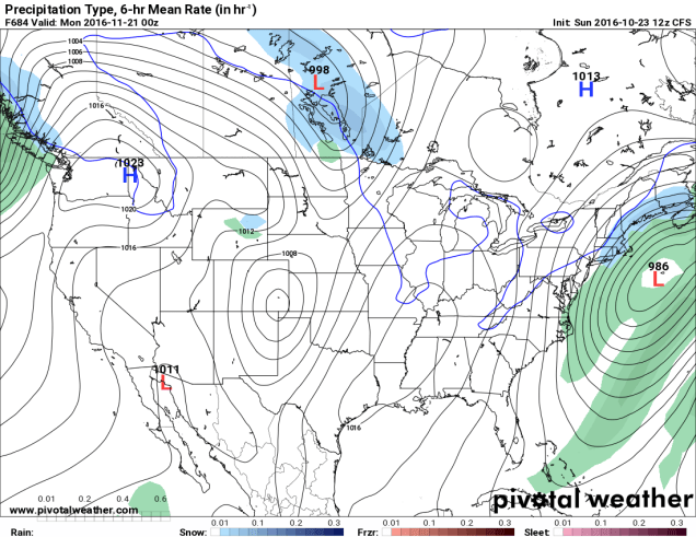
Finally, since we’re getting to the time of year where people start wondering when the snow will start to fall around here, we figured we’d try to answer that. Now, we understand that some of you ask this question because you love winter, and some ask because you dread it and want to know when your luck will run out. There’s a model called the CFS, that actually goes out several months. We put zero stock in this model, and are only presenting it for entertainment purposes only. In other words, the odds that this model is right are roughly the same odds that the Cubs win the World Series the Jets win the Super Bowl this year.