After a very quiet start to the season, the Pacific Ocean is starting to get active.
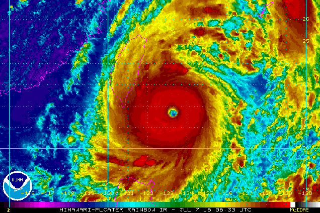
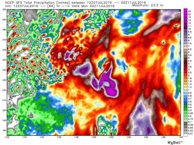
Super Typhoon 02W (Nepartak) has been gathering strength while crossing the Western Pacific Ocean for the past few days. After peaking with top winds near 170 mph on Wednesday, some slight weakening has occurred today, with winds decreasing to near 160 mph. Unfortunately, only a little additional weakening is expected before the storm makes landfall in Taiwan late Thursday.
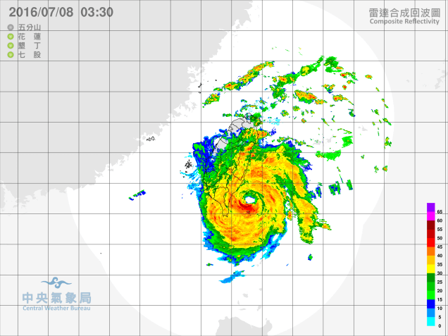
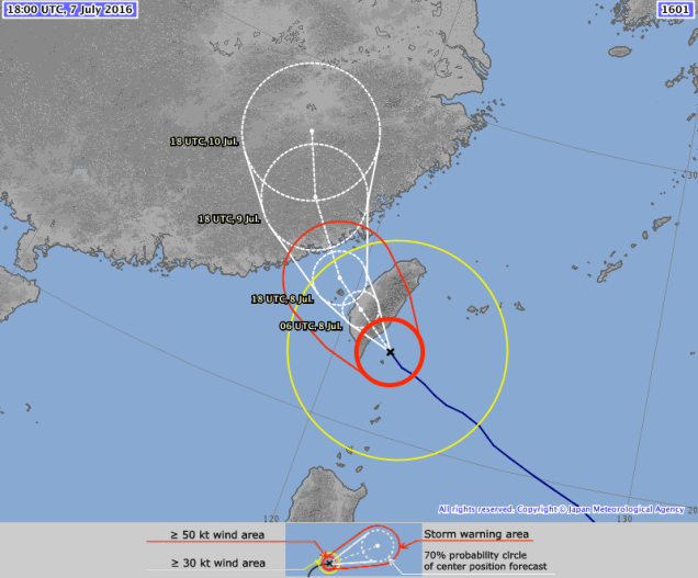
After crossing Taiwan, the storm will steadily weaken before moving into eastern China. While wind and storm surge will still be threats along the coast, the bigger threat to much of the region will be heavy rainfall and the resulting flooding. Recent heavy rain has already created flooding that result in the dozens of deaths across the region. Another 5 to 10 inches or more is expected with the storm, likely worsening conditions across the region.
Meanwhile, in the Eastern Pacific, there are currently two active storms, though neither is a threat to land.

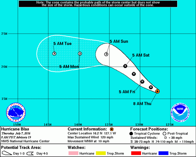
Hurricane Blas peaked on Tuesday night as a Category 4 Hurricane with top winds near 140 mph. As of Thursday afternoon, Blas was centered a little more than 1200 miles west-southwest of Cabo San Lucas, Mexico with top winds near 120 mph, making it a Category 3 Hurricane on the Saffir-Simpson Scale. Blas is moving towards the west-northwest at 10 mph, and Blas is expected to continue heading across the open waters of the Eastern Pacific while steadily weakening over the next few days.
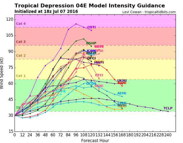
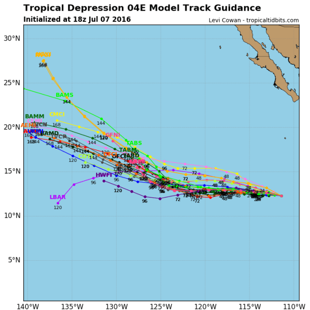
Closer to Mexico is Tropical Depression Four-E, which formed late Wednesday. As of midday Thursday, the depression was centered about 700 miles south of Cabo San Lucas, Mexico with top winds near 35 mph. The depression was heading towards the west-northwest at 8 mph. The forecast for the system is for it to continue heading away from Mexico and out into the open waters of the Eastern Pacific over the next few days. The system could become a Tropical Storm in the next 24-36 hours, at which point it would be given the name Celia.
While the Pacific is active, the Atlantic has quieted down after a record-setting June. A large area of high pressure continues to dominate the region, suppressing most of the tropical waves well to the south. In additional, strong easterly winds keep sending surges of Saharan Dust across the region, which inhibits thunderstorm development. Conditions should remain quiet across the Atlantic into next week.