Spring began this morning, but that doesn’t mean it’s time to put your winter gear away.
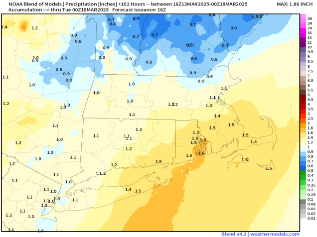
A cold front is making its way toward the region this afternoon, and we’ll see some rain developing ahead of that front tonight. Rain will continue overnight, ending Friday morning as the front moves across the region. We’ll clear out quickly Friday afternoon, with gusty northwest winds ushering some cooler air into the region. High pressure then builds in for Saturday with a milder day, but we’ll see clouds quickly returning ahead of a weak cold front. That front may produce a couple of showers late Saturday afternoon or evening, but most of us will remain dry. Behind it, colder air moves back in for Saturday night and Sunday, despite clear skies. Clouds move right back in Sunday evening, as another system quickly heads our way. This system is a little more complicated. While we’re looking at a chilly, wet day on Monday for much of the region, there may be just enough cold air in place for the rain to start as snow, mainly well north and west of Boston. If it starts before daybreak, we could even see a little accumulation in spots, mainly southern New Hampshire. Any snow should change over to rain during the morning, with periods of rain and showers likely for much of the day.

Thursday night: Mostly cloudy with areas of fog, rain developing after midnight. Low 37-44.
Friday: Showers end in the morning, skies start to clear out from west to east in the afternoon, becoming breezy. High 43-50.
Friday night: Clear skies with diminishing winds, some clouds may start to move back in towards daybreak. Low 31-38.
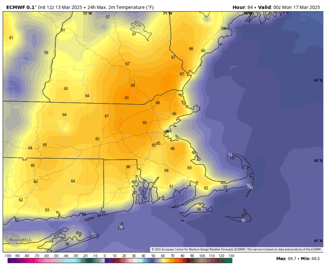
Saturday: Partly sunny, breezy, just a very slight chance for a late-day shower. High 53-60.
Saturday night: Becoming clear. Low 23-30.
Sunday: Mostly sunny, breezy, clouds start to return by evening. High 40-47.
Sunday night: Becoming mostly cloudy, chance for rain towards daybreak, possibly starting as wet snow well north and west of Boston. Low 27-34, temperatures start rising after midnight.
Monday: Mostly cloudy with rain likely, possibly some wet snow early in the day across southern New Hampshire. High 43-50.