This week can basically be described with one word: “BLAH”.
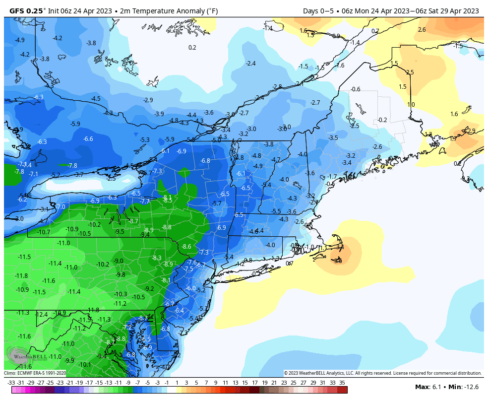
A weak low pressure system slowly moves offshore today, keeping plenty of clouds around with some more showers possible. After that, an upper-level low pressure settles into the Northeast, then remains there through the end of the week. Disturbances will rotate around the system at various times. What this means in terms of sensible weather is that each day through at least Thursday and probably Friday will features intervals of clouds and sun, with the most sun in the mornings, and later in the week, but also a daily chance for some showers. With colder air aloft, some of these showers may produce some graupel at times. These showers will likely be a bit more numerous early in the week, before the upper-level low starts to pull away. As the upper-level low finally moves out next weekend, high pressure should build in with drier conditions, though temperatures will remain on the cool side. Sunday is the wild-card though. Some models show another system moving in with more rain and cool temperatures, while other models keep the storm off to the south. We’ll lean toward the drier forecast for now, but will watch it as the week goes on.

Monday: Plenty of clouds, some sunny breaks possible, a few showers may develop. High 55-62.
Monday night: Partly to mostly cloudy. Low 36-43.
Tuesday: Intervals of clouds and sun with more showers possible. High 54-61.
Tuesday night: Partly cloudy. Low 35-42.
Wednesday: Partly sunny, chance for an afternoon shower. High 55-62.
Thursday: Intervals of clouds and sun with a chance for a few showers. High 52-59.
Friday: Partly sunny. High 53-60.
Saturday: Partly to mostly cloudy. High 53-60.
Sunday: More clouds than sun. High 51-58.
