No record heat is expected this week, but it won’t be that chilly for the most part either.
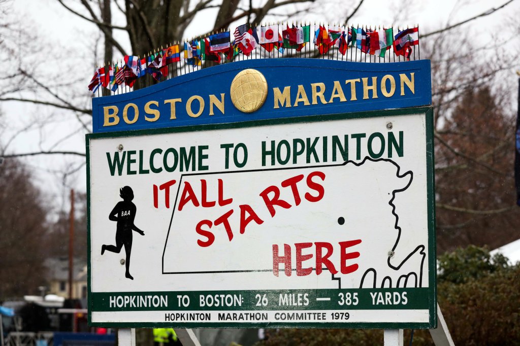
We start the week off with a cold front crossing the region on this Patriots Day. It will produce some showers, mainly during the afternoon, so they shouldn’t have too much of an impact, if any, on the morning reenactments in Lexington/Concord, the Marathon from Hopkinton to Boston, or the traditional 11am Red Sox game. The front pushes offshore later today, then skies clear out tonight. However, we’ll have an upper-level trough of low pressure cross the Northeast on Tuesday, so we may see some sunshine in the morning, clouds will regenerate, and we could even have a few pop-up showers during the afternoon.

High pressure builds in for Wednesday with sunshine and seasonably mild temperatures. A warm front moves across the region early Thursday, possibly producing a few showers, then Thursday looks to feature dry and warmer conditions, but not nearly to the extent we had last week. Friday looks warm as well, but with more clouds as another slow-moving cold front begins to approach. At this time, at looks like some showers are likely at times from late Friday into Sunday before the cold front finally moves through. None of the days should be a washout, and there will be long dry periods, but the showers are possible at almost any time ahead of the front. Temperatures should remain on the mild side ahead of the front, especially on Friday and Saturday, though the clouds and rainfall will keep them in check somewhat.
Monday: Morning fog, otherwise mostly cloudy with showers likely, mainly during the afternoon. High 56-63.
Monday night: Becoming clear to partly cloudy. Low 42-49.
Tuesday: Intervals of clouds and sun, breezy, chance for a few pop-up showers during the afternoon. High 54-61.
Tuesday night: Clear to partly cloudy. Low 36-43.
Wednesday: Mostly sunny, breezy. High 53-60.
Thursday: A mix of sun and clouds, chance for a few showers early. High 60-67.
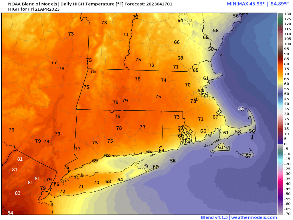
Friday: Partly sunny, showers may develop towards evening. High 64-71, cooler along the coast.
Saturday: Mostly cloudy and breezy with occasional showers. High 61-68, cooler along the coast.
Sunday: Plenty of clouds, more showers, breezy again. High 58-65.
