Meteorological spring began yesterday, so naturally, we’ve got a snowstorm on the way for a good chunk of the region.
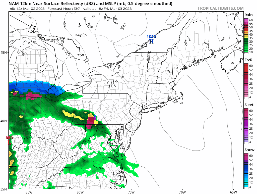
High pressure builds in tonight with some clearing, but it won’t last too long. Couds quickly move back in on Friday as another storm system moves toward the region. This one will be somewhat similar to the last couple where the main storm system crosses the Great Lakes and heads up the St. Lawrence Valley while a secondary storm develops near the Mid-Atlantic coast and heads offshore south of New England. We’ll see snow developing Friday evening, quickly changing to rain near the South Coast and Cape Cod. Snow will continue overnight, but some warmer air will try to move in aloft, which will likely result in some sleet or rain mixing in. How far north that mixing occurs will obviously have a significant impact on the amount of snow that accumulates. Right now, our best thinking is that the mixing makes it to at least the Mass Pike, possibly up into the Merrimack Valley, during the morning and early afternoon on Saturday. The storm will also produce some gusty easterly winds, which will bring milder air in off the Atlantic, so a change to plain rain is possible near the coastline. By later Saturday afternoon, the system south of New England will pass off to the east, and winds will shift into the northeast and north, bringing cooler air back in, and allowing the precipitation to change back to all snow. While most of the steady snow should wind down towards evening, occasional snow showers may continue through the overnight as what’s left of the original low moves across the region. High pressure then builds in for later Sunday into Monday with dry and seasonably cool conditions.
So, how much snow are we expecting?
Cape Cod: 1″ or less
South Coast: 1-2″
Southeastern MA/Central+Northern RI: 2-4″
Boston/MetroWest/Notre Shore: 3-6″
Merrimack Valley/NH Seacoast: 4-8″
Southern/Central NH: 5-10″ with isolated amounts in excess of 12″

Thursday night: Becoming clear to partly cloudy. Low 23-30.
Friday: Some morning sun, then clouds increase. High 37-44.
Friday night: Snow developing, changing to rain South Coast and Cape Cod, mixing with some sleet and/or rain across southeastern MA and RI overnight, becoming windy. Low 27-34.
Saturday: Windy with snow, mixing with or changing to sleet and/or rain south of the Merrimack Valley, changing back to snow late in the day. High 34-41.
Saturday night: Cloudy and breezy with occasional snow showers. Low 22-29.
Sunday: Morning clouds, some afternoon clearing, breezy. High 36-43.
Sunday night: Clear to partly cloudy. Low 24-31.
Monday: Partly to mostly sunny, breezy. High 40-47.
