A rather complex storm system is heading this way, but the forecast itself isn’t too complex for most of us.
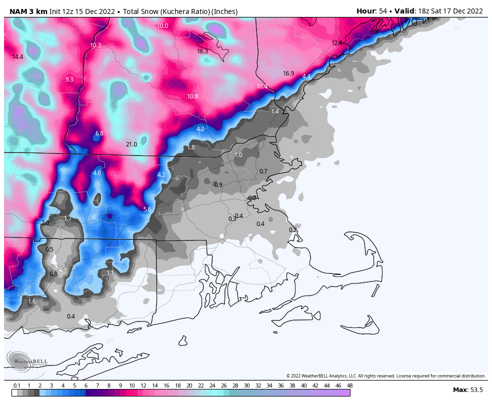
The storm system that’s been producing blizzard conditions in the Plains and severe weather in the South over the last few days will head towards the Great Lakes tonight as a secondary area of low pressure takes shape over the Mid-Atlantic states. That system will pass close to or over southeastern Massachusetts Friday night. Ahead of it, we’ll have rain moving into the region tonight. The rain may start as some wet snow across the hills of Worcester County and southwestern New Hampshire, possibly even in parts of south-central New Hampshire and the Merrimack Valley, but gusty easterly winds will quickly bring milder air in off the still relatively mild Atlantic, quickly changing any snow over to rain at the lower elevations. Friday will be a windy, rainy, and cool day across the region. Wind may gust as high as 40-50 mph near the shoreline, but with tides astronomically low, coastal flooding is not a concern. As the storm passes by Friday night, winds will shift from the east to the northeast and eventually north and northwest, bringing cooler air back in. The precipitation will be moving out, but the rain will likely change over to snow before it ends around midday across southern New Hampshire and possibly the Merrimack Valley. As for accumulations, we’re looking at an inch or less across the Merrimack Valley and the New Hampshire Seacoast, an inch or possibly two across southern New Hampshire (including Nashua and Manchester), and 3-5 inches up towards Concord. Across the hills of northern Worcester County and the Monadnocks of southwestern New Hampshire totals of 6-12 inches or more are likely.

Once the storm moves out, temperatures will slowly drop during the day on Saturday, then skies start to clear out at night. An upper-level low pressure system moves across the region on Sunday with some additional clouds and possibly a few flurries. High pressure then builds in for Monday with sunshine and seasonably cool conditions.

Thursday night: Rain developing, possibly starting as a brief period of wet snow across southern New Hampshire, becoming breezy. Low 33-40 in the evening, then temperatures slowly rise overnight.
Friday: Windy with periods of rain, possibly heavy at times. High 39-46.
Friday night: Rain may change back to snow across southern New Hampshire, breezy. Low 30-37.
Saturday: Cloudy and breezy with rain or snow showers ending by midday. Some sunny breaks may develop late. High 37-44 in the morning, temperatures drop during the afternoon.
Saturday night: Becoming clear to partly cloudy. Low 23-30.
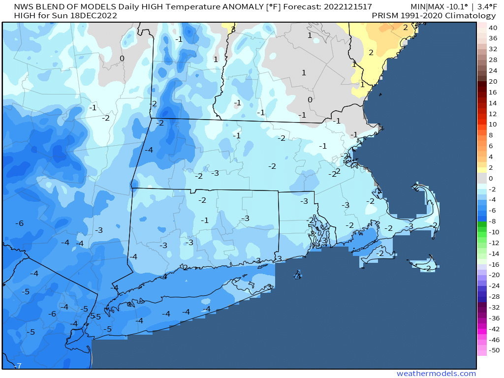
Sunday: Intervals of clouds and sun, chance for a few flurries, breezy. High 33-40.
Sunday night: Clear to partly cloudy. Low 21-28.
Monday: Plenty of sunshine. High 35-42.