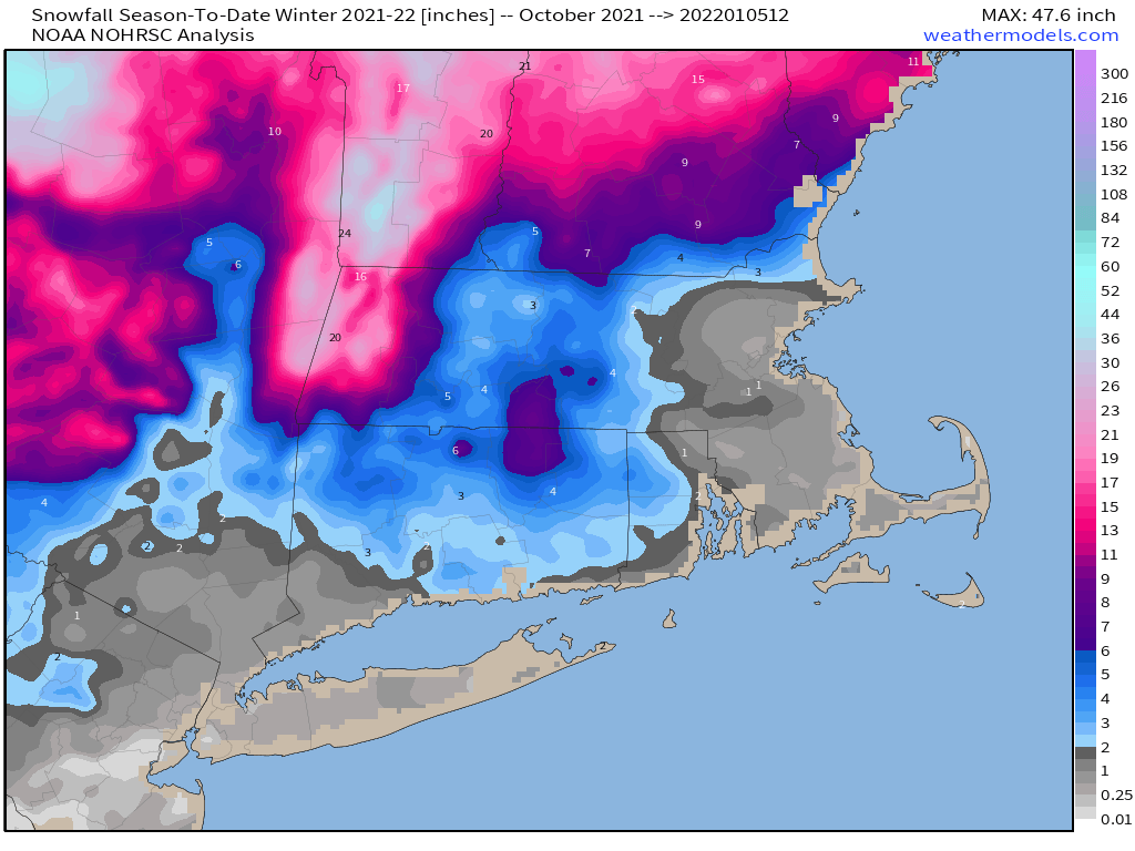
We haven’t had much of the flaky white stuff yet this winter, but that’s going to change on Friday.

A low pressure area currently moving across the Pacific Northwest will make its way across the country over the next 24-36 hours, moving off the Mid-Atlantic coastline Thursday night, passing south and east of New England Friday morning. The system will be moving fairly quickly, and while it will become a rather potent storm as it heads into Atlantic Canada, it won’t be that strong when it passes New England. This means that we’re looking at a light to perhaps moderate snowstorm across the region on Friday. For the most part, this will be mostly snow across the region, with any rain mixing in likely confined to the Outer Cape and Islands. With this in mind, a Winter Storm Watch is in effect on Friday from 1am until 1pm for all of Rhode Island and southeastern Massachusetts (not including Cape Cod) as well as the Boston area

First, we’ll talk about the timing, which isn’t optimal. The snow will likely develop across the region between 3 and 5am, which means it will have a significant impact on the morning commute. For the most part, the snow will be light, but there will be a few embedded steadier bursts of snow through the morning. The snow should wind down and end between 12 and 3 pm, so it could have an impact on the afternoon commute, but the roads should be in good shape by that point as long as crews have been keeping up with it all day.
As for how much to expect, as we already mentioned, this won’t be a big deal. However, since it’s the first real widespread accumulating snow of the winter, it’ll turn into a bigger deal than it probably should be. Here’s our thinking:
Southern NH: 1-3″
NH Seacoast/Merrimack Valley: 2-4″
I-95 corridor: 3-5″
Southeastern Mass/RI: 4-7″
Upper Cape Cod: 3-5″
Outer Cape/Islands: 1-3″

Saturday looks to be sunny but chilly, with another system bringing milder air and rain back in later Sunday into early Monday. However, it’s looking more and more like a brief but significant cold shot is coming for Tuesday/Wednesday next week. We’ll provide an update on the snow forecast in our Weekend Outlook tomorrow.