March is supposed to come in like a lion, and it still may, but for now, February is going to as well.
As you may have heard, it’s going to snow today. We’re not going to rehash that too much, since we just wrote a very detailed post about the storm Sunday evening, and our thinking really hasn’t changed much. Suffice to say, snow will become heavy at times this afternoon and tonight, changing to rain for the immediate coast and Cape Cod. It’ll start to wind down early Tuesday, but occasional snow showers and periods of light snow continue on Tuesday with rain eventually going back to snow near the coast. Strong winds this afternoon and tonight slowly diminish on Tuesday as well.

So, let’s get to what comes next. On Wednesday, the storm pulls away, heading towards Nova Scotia, but we may still have a few snow showers around, especially during the morning. Skies may start to clear out late in the day. The airmass behind the storm isn’t that cold, so unlike past storms, we don’t have to worry about another arctic blast freezing everything up. High pressure then builds in for Thursday and the sun should return, with temperatures right around where they should be in early February.

Friday and the weekend are when things get interesting again. You may recall a few days ago when some of the tv meteorologists were talking about a big warmup and rainstorm around here for this coming Friday, which would help get rid of a lot of the snow we’re getting today. Well, that’s not quite what’s going to happen now. Yes, low pressure will still travel into the Great Lakes and then Ontario, passing well north and west of us, and temperatures will moderate a bit on Friday. However, temperatures will likely only get into the upper 30s to lower 40s, which is still a little above normal, but not the 50s some of the models were showing a few days ago. We’re also not looking at a lot of rain either. There will likely be some precipitation ahead of a strong cold front, and much of it will be rain, but it might not start as rain across the interior.
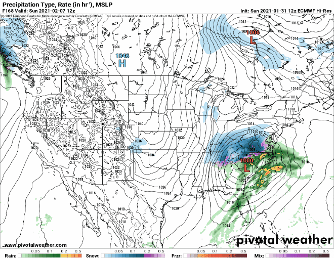
The cold front moves through Friday night and high pressure starts to build in with colder air once again. It won’t be as cold as what we had this past weekend, but temperatures will be near to perhaps a little below normal. That’s not the end of the story though. That cold front likely stalls out across the Southeast and then a wave of low pressure will move out of the Gulf of Mexico and start to ride up along the front. Some of the models are showing the potential for that system to bring in some more snow next weekend. It’s still 6-7 days away, and most of the models have not performed that well beyond 2-3 days for quite some time, so we’re not completely convinced of this yet, but it’s something we’ll start to focus on once we get our current storm out of the way. If it starts looking more likely, we’ll have more details in our Weekend Outlook Thursday afternoon.
Monday: Becoming windy with snow, heavy at times by late afternoon, changing to rain along the coast. High 28-35.
Monday night: Windy with snow, heavy at times inland, and rain from Cape Cod and parts of southeastern and coastal Massachusetts. Precipitation tapers off toward daybreak. Temperatures hold steady or rise a few degrees overnight.
Tuesday: Cloudy and breezy with periods of light snow and snow showers, except rain showers for southeastern Massachusetts. High 30-37, a little warmer across Cape Cod and possibly southeastern Massachusetts.
Tuesday night: Cloudy and breezy with additional snow showers possible. Low 21-28.
Wednesday: Cloudy with a few more snow showers possible early, some glimpses of sunshine are possible in the afternoon. High 29-36.
Thursday: Partly to mostly sunny. High 32-39.
Friday: Cloudy and breezy with showers developing, possibly starting as snow or a wintry mix north and west of Boston. High 38-45.
Saturday: Some early sun is possible otherwise mostly cloudy with a chance of snow or rain. High 33-40.
Sunday: Mostly cloudy with snow or rain possible. High 32-39.
