It’s coming. Most of you don’t want to hear it, but you’re going to anyways. No, we’re not talking about changing the clocks this coming weekend. We’re talking about something scarier that happens before that, and it’s not Halloween either. It’s the first mention of “snow” in the forecast.

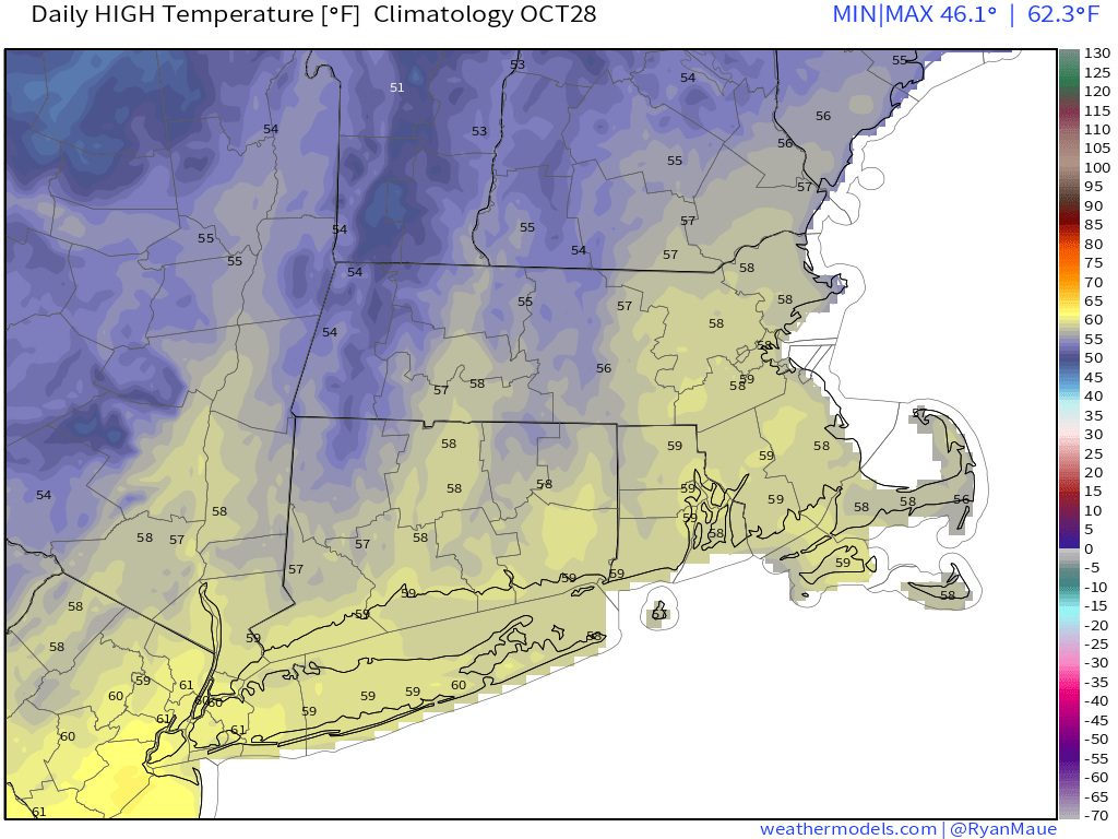
We’ll start the week with a rather “blah” day. A warm front will try to lift northward into the region, but probably won’t make it (a sign of things to come this winter?). As a result, we’re stuck with plenty of clouds, some drizzle and/or showers, and cool temperatures. A cold front will move through at night, with a few more showers possible. Behind the front we’ll have a couple of drier days for Tuesday and Wednesday, but as little upper-level disturbances move through, we’ll still have some clouds and maybe a shower or two. With high pressure to the north, we’ll still have easterly winds, so it will remain on the cool side, with temperatures generally running a few degrees below where they should be in late October.

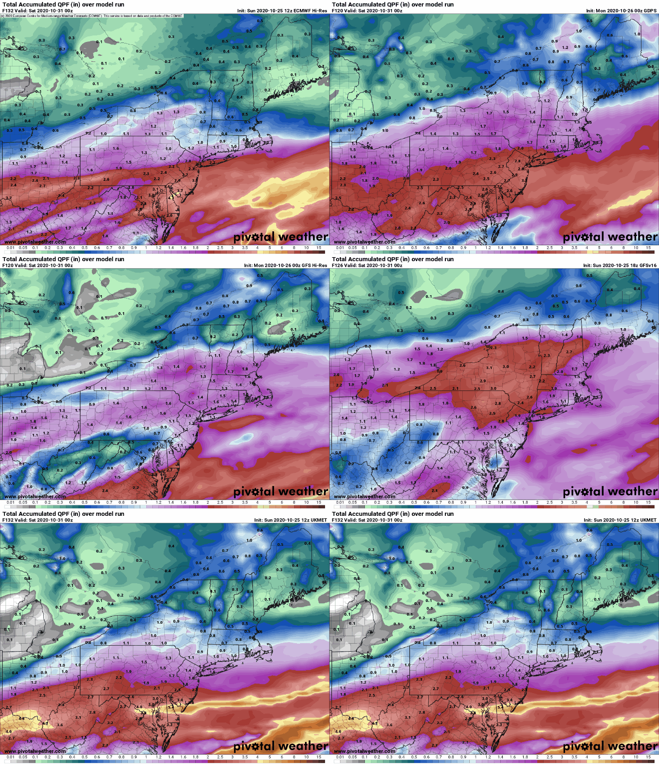
The end of the week is where things get interesting, complicated, and uncertain. A frontal boundary will remain stalled out south of the region keeping us cool. Meanwhile, what’s left of Tropical Storm Zeta will move across the Tennessee Valley and will likely ride along that boundary to our south. How far south that boundary lies will help determine how far north the rains from Zeta get. Thursday will be a cool, wet day obviously, but how wet remains to be seen. Some models are showing the potential for some heavy rainfall, especially along the South Coast, which would help somewhat with the drought, but also make the day even more miserable.

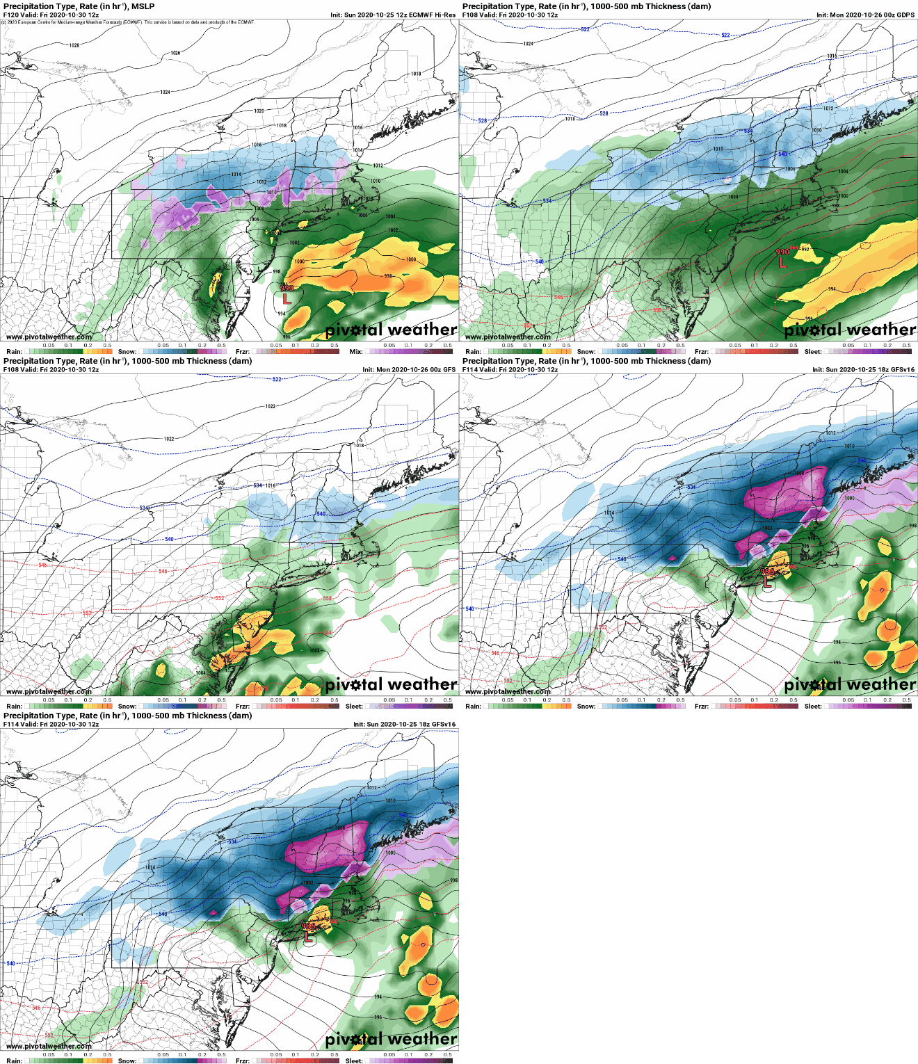
But wait, that’s not all. At the same time, an upper-level low will be moving out of the Plains and toward the Mid-Atlantic states, while another upper-level disturbance will be moving across the Great Lakes and towards New England. These two will help determine our weather for Thursday night and Friday. Some models show the potential for these two systems to join up or “phase”. This happens often during the winter to create some of our stronger storms. We’re not convinced that will happen here. Even if it does, it may not happen until the disturbances are past us, in which case, it won’t matter. Even if they don’t phase, we’re going to see colder air get drawn southward in the wake of Zeta’s remnants and as another low passes south of us. At the same time, we’ll have more precipitation moving in. So, while Friday will be another chilly and wet day, it’s becoming more likely that the rain will change over to wet snow in some of the hills from Worcester County into the Monadnocks, where there may even be enough to turn the ground white. For the rest of us, there are still too many variables to really be too definitive. We wouldn’t be shocked if some wet snow mixed in with the rain across parts of southern New Hampshire and eastern Massachusetts. There are some models that are forecasting accumulating snow around here. We can’t even rule that out, if everything lines up perfectly. We’re not expecting a repeat of “Snowtober”, but other than that, anything is possible.

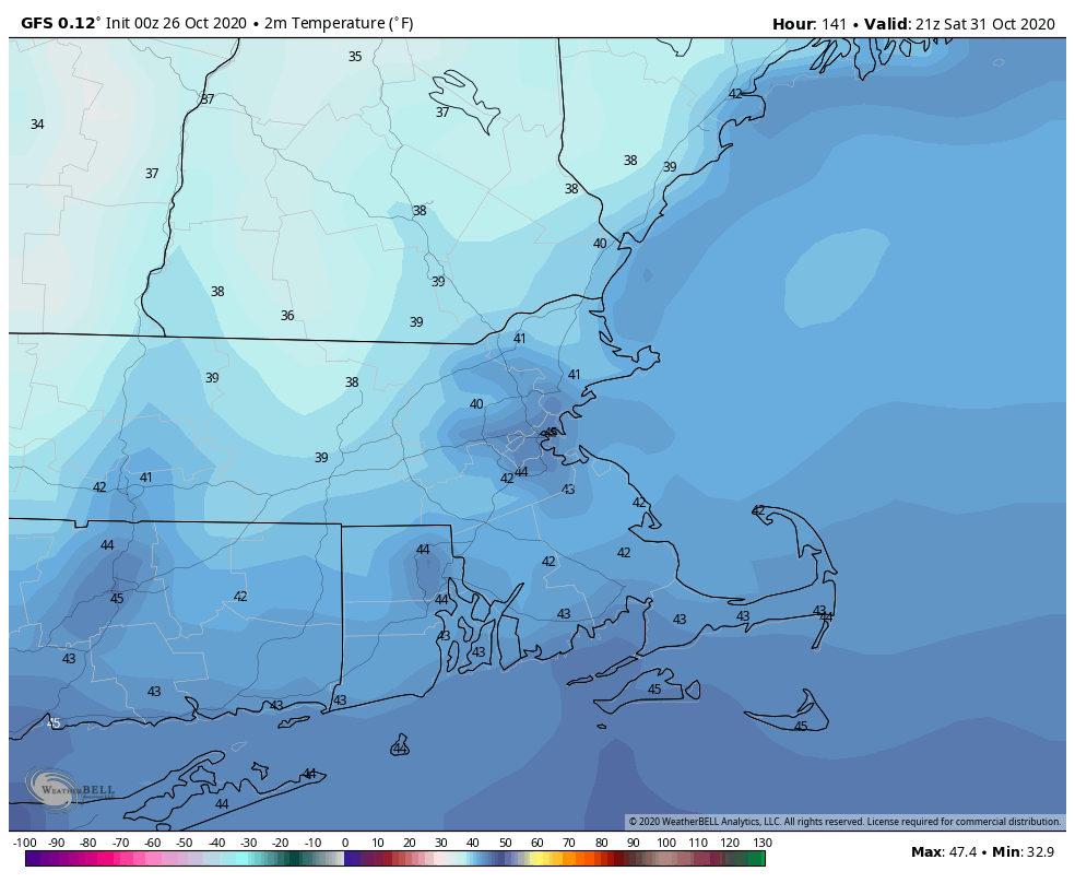
Once that system pulls away, high pressure builds in with sunshine and chilly temperatures for Halloween. Make sure the kids are bundled up if they are heading out to trick or treat, as it will be chilly Saturday evening. The high slides offshore on Sunday, allowing temperatures to moderate, but the next system will be quickly approaching, with some showers possible by evening.

Monday: Clouds, drizzle, fog, maybe a few showers. Blah. High 52-59.
Monday night: Cloudy with a shower possible. Low 44-51.
Tuesday: Clouds and some afternoon sunny breaks. High 52-59.
Tuesday night: Mostly cloudy. Low 33-40.
Wednesday: More clouds than sunshine, a few showers are possible. High 50-57.
Thursday: Cloudy with showers developing, possibly become a steady rain late in the day. High 50-57.
Friday: Cloudy and breezy with rain and showers possibly mixing with or changing over to some wet snow before ending in the afternoon. High 38-45.
Saturday: Plenty of sunshine. High 42-49.
Sunday: Some early sun, then clouds return with showers possible late in the day. High 51-58.
One thought on “Weekly Outlook: October 26-November 1, 2020”