Despite the gloom and doom you may have heard or read about elsewhere, this weekend is not going to be a washout.
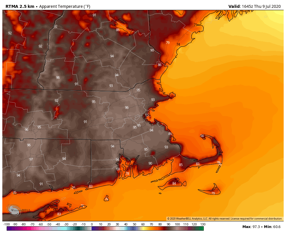
High pressure remains in control for the rest of your Thursday afternoon, with warm to hot and humid conditions. A pop-up shower or thunderstorm is possible, but if any do form, they’ll be few and far between, and most of us will remain dry. Another warm and muggy night is expected tonight before we turn our attention to Friday.

An area of low pressure is trying to develop off the North Carolina coastline this afternoon. Whether this system develops or not, it will head northward over the next 24-48 hours. This will send a surge of tropical moisture northward, resulting in some heavy rain and thunderstorms. Obviously where the heavy rain ends up being focused will be dependent on the eventual development and track of the system, but right now, it looks like the heaviest rain should stay well to our west. Sure, we’ll have some heavy showers and thunderstorms, mainly from late Friday afternoon into early Saturday morning, but this should not be a big deal. Some of the thunderstorms could be quite strong, with gusty winds, downpours, and an isolated tornado is possible, but aside from the slim chance for a tornado, we’ve been dealing with similar conditions for the past couple of weeks on a regular basis.

The showers should end Saturday morning, with partial sunshine developing for the afternoon. However, a warm and humid airmass will remain in place, so we could pop a few showers and thunderstorms again during the afternoon hours. Beyond that, it’ll be more of the same. We’ll have an upper-level trough of low pressure moving into the Northeast, which will help to trigger some afternoon showers and thunderstorms both Sunday and Monday afternoons, but otherwise, it’ll just be partly to mostly sunny, very warm, and humid.
We usually don’t forecast more than a week out, and this outlook is focusing mainly on this weekend, but we think it’s worth mentioning that some of the long-range guidance is showing the potential for a significant heat wave late next week into the following week. While the core of the heat will likely be focused on the Midwest and parts of the Plains states, it could still get hot around here as well. We’ll have a better look at this in our Weekly Outlook that will be issued early Monday morning.

Thursday night: Clear to partly cloudy. Low 65-72.
Friday: Becoming cloudy with showers and thunderstorms developing in the afternoon. High 81-88.
Friday night: Cloudy with showers and thunderstorms likely, some of them may produce heavy rain. Low 65-72.
Saturday: Showers end early, then becoming partly sunny, but another round of showers and thunderstorms is possible in the afternoon. High 79-86.
Saturday night: Clear to partly cloudy. Low 66-73.
Sunday: Sunshine and some afternoon clouds, chance for a few late-day showers or thunderstorms. High 82-89.
Sunday night: Clear to partly cloudy. Low 64-71.
Monday: A mix of sun and clouds with a few afternoon showers and thunderstorms possible. High 82-89.
