No matter how you define summer, it is now officially here in the Northern Hemisphere, and we’ll feel it all week long.
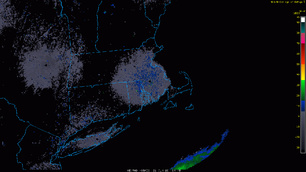
The past few days have all featured the same general pattern. A muggy start to the day with low clouds and fog across southern Rhode Island and southeastern Massachusetts, then sunshine, some fair-weather cumulus clouds, warm to hot temperatures, moderate to somewhat high humidity, a few pop-up showers and thunderstorms during the afternoon, diminishing by evening, then low clouds and fog return to the South Coast. Wash. Rinse. Repeat. Well, that general pattern will continue today and Tuesday with one added wrinkle – a seabreeze along the coast. That actually started on Sunday, which helped to produce the heavy thunderstorms across eastern Massachusetts. It will likely be the case today, and probably Tuesday as well.
By Wednesday, we start to get some changes. A cold front will be approaching from the west as low pressure passes north of the region. We’ll still have morning low clouds and fog, and it’ll still be warm to hot and fairly humid, but the cold front will help produce a little more in the way of thunderstorm activity Wednesday afternoon and evening. The timing of the front will have a hand in determining how strong the thunderstorms get, but right now, it does not look like a widespread severe event.

The front moves through at some point Wednesday night early Thursday, then high pressure builds in with some drier weather for Thursday into Friday. Temperatures will still be quite warm, but with lower humidity, it will feel a bit more comfortable. The weekend is a bit of a question mark at this point. Another system will likely pass north of the region, with some showers and thunderstorms possible, but there is plenty of disagreement among the models in regards to the timing of the system. Either way, it doesn’t look like much to worry about, with neither day being a washout.

Monday: Low clouds and fog to start the day across the South Coast, and also from the North Shore to the New Hampshire Seacoast, then skies become partly to mostly sunny, a few showers and thunderstorms are possible during the afternoon, mainly well inland. High 85-92 inland, 77-84 along the coast.
Monday night: Clear to partly cloudy, low clouds and fog return to the South Coast. Low 61-68.
Tuesday: A mix of sun and clouds, chance for a few showers and thunderstorms during the afternoon. High 85-92, cooler right along the coast.
Tuesday night: Clear to partly cloudy, low clouds and fog return to the South Coast once again. Low 63-70.
Wednesday: Intervals of clouds and sunshine with scattered showers and thunderstorms likely during the afternoon and evening, tapering off before midnight. High 83-90, cooler along the South Coast.
Thursday: Partly to mostly sunny and less humid. High 82-89.
Friday: Sunshine and a few clouds. High 81-88.
Saturday: Intervals of clouds and sun with a chance for showers and thunderstorms. High 78-85.
Sunday: Partly sunny, chance for some showers and thunderstorms. High 80-87.
