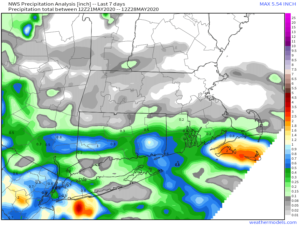
Changes are coming over the next few days. We’ve been dry for a while, but some rain is in the future. It’s been warm for much of the week, but cooler weather is on the horizon.

We start off with high pressure still in control this afternoon and evening. A southerly flow around the offshore high pressure system continues to bring warm and humid air into southern New England. It’s also bringing plenty of cloudcover in. Aside from a few sprinkles here and there, it should remain dry through the afternoon. Low clouds and fog will move back in tonight, especially along the south coast, as the warm and humid air continues to flow into the region.
A cold front will start to move in from the west on Friday. Much of the day will be similar to today with plenty of clouds along with some warm and humid air. We could see a few showers around in the morning, but they’ll be light for the most part and very widely scattered. In the afternoon, as the cold front starts to get closer, strong to severe thunderstorms will likely start to develop across portions of New York down into the Mid-Atlantic states. These storms will move eastward, but once we get into the evening, they’ll start to weaken as they lose the heating of the sun. They move across our area overnight and early Saturday. For the most part, we’re just looking at scattered showers, with some embedded thunder and lightning, and a few heavy downpours.

The showers should come to an end by midday Saturday as the front finally pushes across the region, then drier air will start to move in. Skies should start to clear our late Saturday and Saturday night as high pressure builds in from Canada. Cooler air will start to settle in on Sunday despite plenty of sunshine. By Monday, an upper-level trough of low-pressure will be moving across the region, so we’ll see some additional clouds and possibly a few showers, but also even cooler conditions are expected.

Tonight: Mostly cloudy with some patchy fog, especially along the South Coast. Low 62-69.
Friday: Mostly cloudy and breezy with a few showers possible. High 72-79 south of the Mass Pike, 80-87 north of the Pike.
Friday night: Cloudy with showers likely, possibly some thunder. Low 60-67.
Saturday: Cloudy with showers ending by midday, some clearing takes place in the afternoon, especially north and west of Boston. High 77-84, cooler along the South Coast.
Saturday night: Becoming mostly clear. Low 54-61.
Sunday: Mostly sunny, cooler, and less humid. High 68-75.
Sunday night: Clear skies and cool. Low 44-51.
Monday: A mix of sun and clouds, chance for a few afternoon showers. High 61-68.