It’s probably a good thing that most of us don’t have anywhere to go this week, since the weather is going to be on the dreary side.

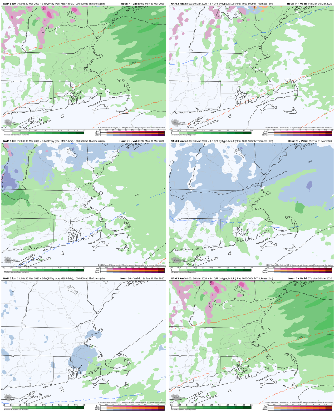
The low pressure system that produced last night’s thunderstorms is moving away, but another system will pass to the north today, dragging a cold front across the region. At the same time, an upper-level low pressure system will move across the region. Add those up and we’ll have plenty of clouds and some showers. Showers and drizzle will linger into the evening, and as cooler air settles in, we could even see some wet snow mix in, especially across southern New Hampshire and northern Massachusetts.

That upper-level low moves offshore on Tuesday, but we’ll be stuck with northeast winds, resulting in plenty of clouds, some drizzle, maybe a few showers, and cool conditions. That upper-level low will start to drift back westward Tuesday night into Wednesday, keeping us trapped in the drizzle, fog, and cool weather. In one sense, this is a good thing, as a storm system will be moving off the Carolina coastline. With the upper-level low up here, it will steer that system well offshore, but that doesn’t mean it won’t have any impact. It just won’t be a nor’easter. Instead, as it passes well south and east, a trough of low pressure will extend northwestward from it, back into New England. This will bring in more clouds and a better chance of showers for Thursday into Friday, especially along the coast, where winds may also be quite gusty at times.

The low finally pulls away from the region later on Friday, resulting in some drier weather finally moving in for Saturday, along with milder conditions as high pressure builds into the Northeast. Sunday looks to be milder as well, but a cold front will start to move in by late in the day, with some more showers possible.
Monday: Plenty of clouds, maybe a few glimpses of sunshine along with some spotty drizzle. Showers may develop in the afternoon. High 41-48.
Monday night: Mostly cloudy and breezy with showers possibly mixing with some wet snow before ending. Low 29-36.
Tuesday: Clouds and some sunny breaks. High 39-46.
Tuesday night: Partly to mostly cloudy with some low clouds and drizzle, especially along the coast. Low 27-34.
Wednesday: More clouds than sunshine. High 42-49, coolest along the coast.
Thursday: Cloudy with showers becoming likely. High 44-51, coolest along the coast.
Friday: Mostly cloudy and breezy, especially along the coast, showers gradually ending. High 45-52, coolest along the coast
Saturday: Low clouds and fog early, especially near the coast, then that big bright thing in the sky returns. High 45-52, coolest along the coast.
Sunday: Morning sunshine, then clouds come back in the afternoon. Showers are possible late in the day. High 48-55.